

I was watching a student struggle to connect the physical map on their screen to the daily reality of the Bedouin people. They were trying to understand why someone would choose to live in the middle of a desert when they could just move toward the coast. That is exactly where Life on the Arabian Peninsula steps in to bridge the gap between abstract geography and human survival. For your 7th grade social studies class, this lesson turns the map into a story about survival.
Students start by looking at the borders of the peninsula: the Red Sea, the Arabian Sea, and the Persian Gulf. The lesson explains that while these waters provide essential trade routes, the land itself is overwhelmingly arid. This sets the stage for the core concept of adaptation. When you assign this, look for students who can explain that people do not live in the desert despite the harsh conditions, but rather they shape their lives to fit the geography. Whether you are in Capistrano Unified, Moreno Valley Unified, Kings Canyon Joint Unified, or Newman-Crows Landing Unified, this standard is a foundational piece of your history curriculum.
Understanding the core of the standard
This 7th grade geography and history lesson is designed to meet CA.HSS-7.2.1. This California-adopted standard requires students to identify physical features and describe the climate of the Arabian Peninsula, while also explaining the relationship between land, water, and human ways of life. It specifically asks students to distinguish between nomadic and sedentary living patterns. The lesson does a nice job of keeping these definitions clear and functional:
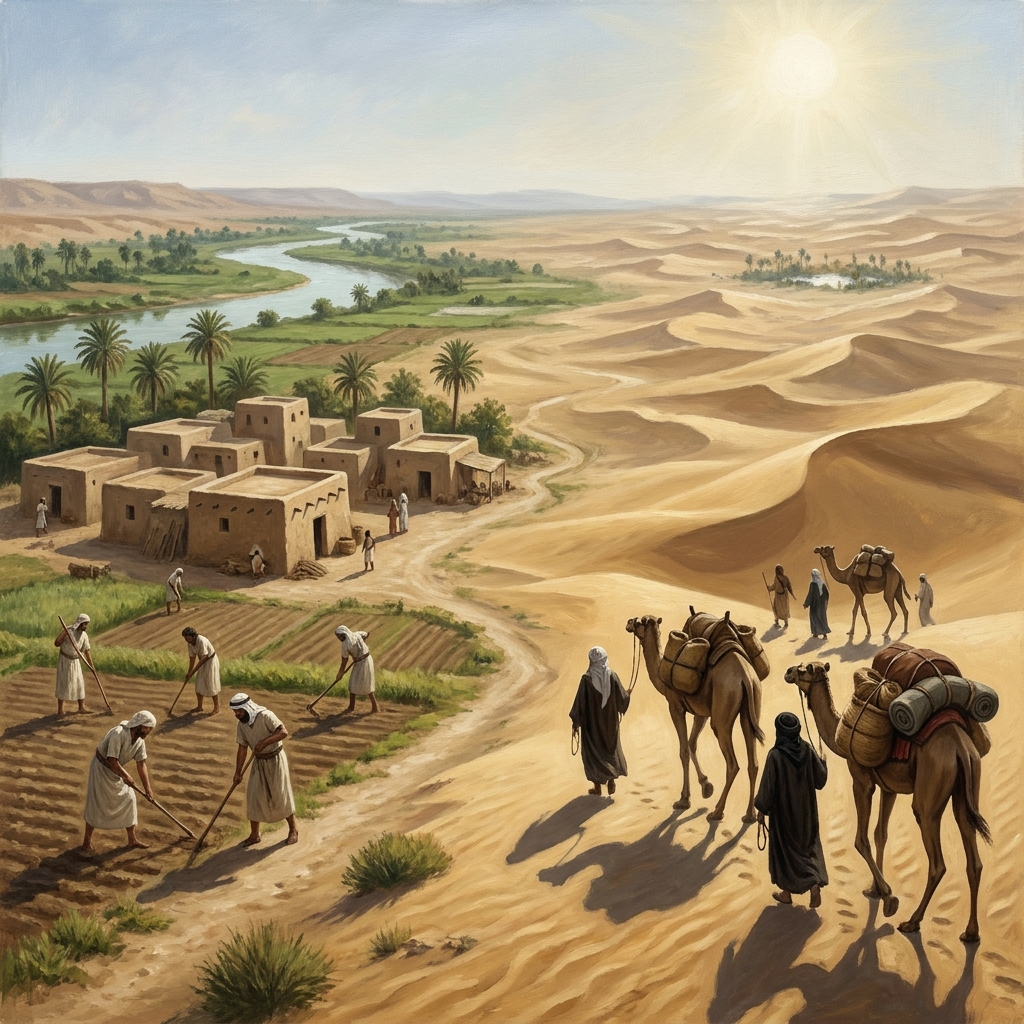
- Nomadic: A way of life where people move from place to place, often following seasonal weather or animal herds, instead of living in one permanent home.
- Sedentary: A way of life where people settle in one permanent location, such as a village or town, to live and work.
- Oasis: A fertile spot in a desert where water is found, allowing plants to grow and people to settle.
- Arid: A climate that is very dry, with little rainfall, making it difficult for many plants to grow.
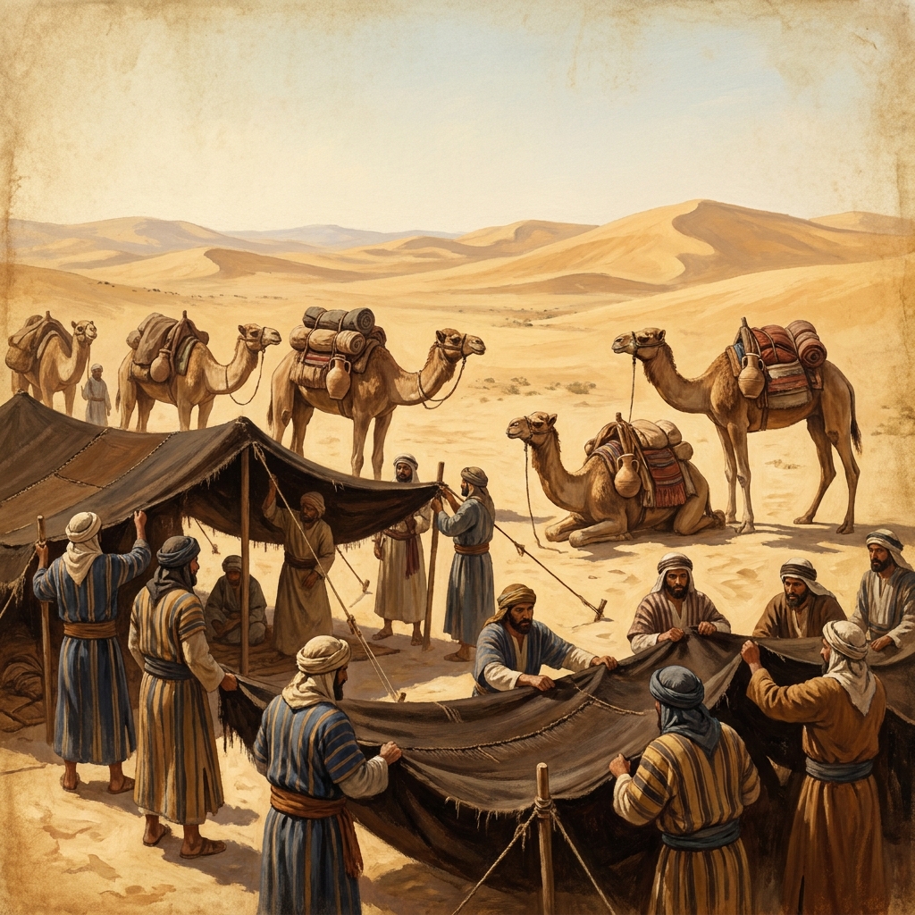
The lesson does not just throw terms at students; it asks them to analyze the Bedouin approach to housing. When the material notes that Bedouin people move frequently to find grazing land for their camels, it frames this as a brilliant adaptation. Their portable tents are a direct response to a harsh terrain where resources are spread thin. It is a great moment to push your students beyond just memorizing the definition of nomadic and instead get them to explain the logic behind the movement.
How to manage the workflow
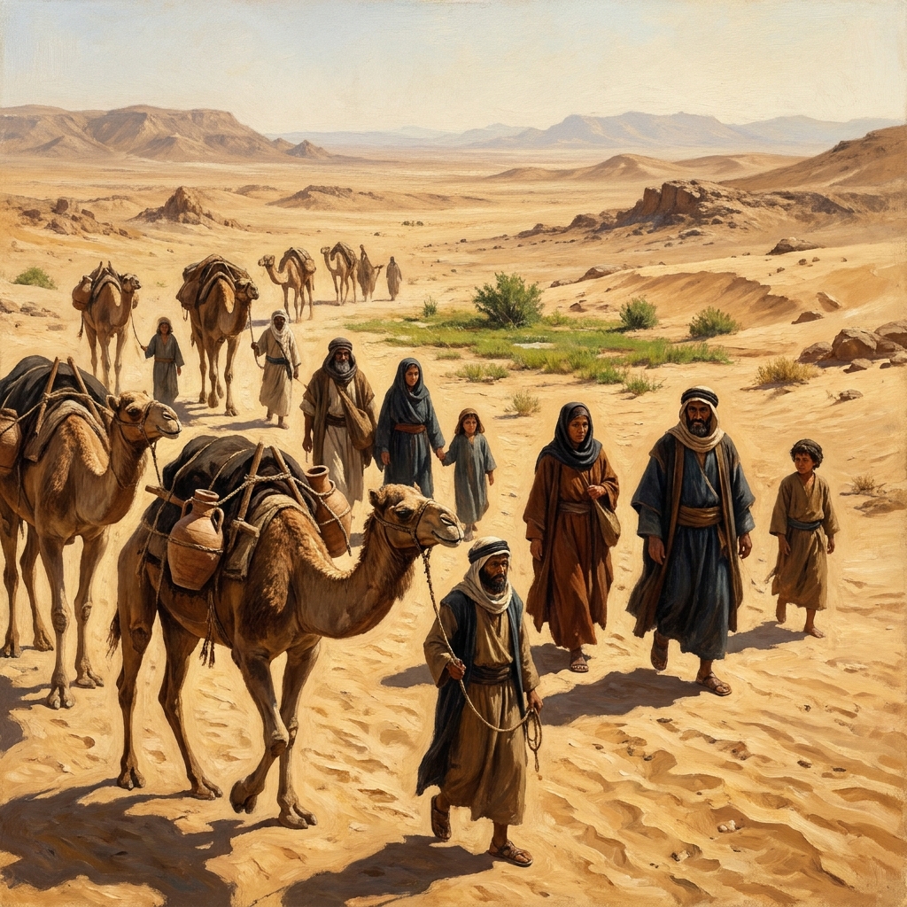
I find that this lesson works best as a whole-class assignment to kick off the unit, though it is solid enough for an independent study day or a substitute teacher to manage without much friction. Because the guided practice asks students to imagine a traveler moving from the Persian Gulf toward an inland oasis without a camel, it forces them to calculate the difficulty of carrying water and supplies across that terrain. If you have students who need a bit of support, have them sketch the path on paper first. If you have students who are ready for more, ask them to identify the specific trade items that would be most precious to that traveler. By requiring them to map out these challenges, you help ensure they understand the stakes of living in such a region. Students should focus on the logistical realities of finding water sources, the heavy toll that the heat takes on supplies, and how trade routes were established based on the location of life-sustaining oases. This practical application reinforces why geography dictates history. When they map out these routes, they stop viewing the map as a static image and start seeing it as a series of obstacles that humans had to overcome through ingenuity and resourcefulness. This exercise can be extended by having students compare their sketched routes with modern satellite maps to see how technology has changed access to these remote areas, while simultaneously highlighting how the underlying geographical constraints remain just as relevant for travelers today.
One caveat: the text is concise. Some students might breeze through the reading without stopping to visualize the terrain. Make sure they understand that ‘arid’ is not just a vocabulary word on a quiz, but a physical reality that dictates everything from what you eat to where you sleep. Remind them that these same principles of managing water and protecting resources in dry climates are still used by scientists today.
Where the lesson fits in your calendar
If you are planning your week, this lesson fits perfectly right after you introduce the concept of the Middle Ages in the broader world. It anchors the unit in the physical geography of the Arabian Peninsula before you get into the political or religious developments that follow in the cluster. It is a manageable 45-minute block of instruction that does not require heavy prep work. If you have a student who misses the week, you can easily hand this to them as a catch-up assignment because it stands alone well. Using this time to build a strong geographical foundation pays dividends later when you cover the expansion of trade networks or the movement of people across the region. When students have a visual sense of where the desert begins and the fertile spots end, they possess the context needed to understand historical shifts in power and control. Teachers who prioritize this foundational lesson often report that their students have fewer questions about why specific cities formed where they did, or why certain nomadic groups held so much influence over regional trade routes. It provides a shared vocabulary and a mental map that carries the class through the remainder of the unit, reducing the need for remediation later on.
The goal of this lesson is teaching students to think like geographers. It pushes them to see the environment not as a passive background, but as a major player in human history. When they can articulate why an oasis acts as a magnet for settlement, they have grasped the point of the standard. Keep the conversation focused on that link between the land and the lifestyle, and your class will walk away with a much clearer picture of how these civilizations actually functioned. Students who grasp this connection early on tend to be much more successful when analyzing later lessons about the rise and fall of empires, as they can accurately evaluate the role that natural resources, climate, and water access played in the successes or failures of those groups. By focusing on the environmental, you are helping your students develop critical thinking skills that are essential for deep historical analysis.
Related lessons
The Tang Dynasty and the Spread of Buddhism, Discusses cultural shifts and religious expansion during the Tang Dynasty
Reason and Science in Early Modern Europe, Covers the intellectual movements of the early modern period
The Rise of the Samurai in Medieval Japan, Explores the political and social structure of medieval Japan