

When we teach World War II to our tenth graders, it is easy to get buried in dates and names. But our students really start to get it when they understand why things happened where they did. The Geography and Strategy in World War II lesson is a solid 45-minute resource for teachers who want to shift the focus toward the physical reality of the war. Whether you have a student who missed the week or need a targeted lesson for an independent study assignment, this covers the essential link between land and military outcomes.
The lesson starts by setting the stage in Europe. It describes the continent as a place defined by rugged mountains, deep rivers, and vast seas that form natural barriers. By emphasizing these physical landforms, the material shows students exactly how routes were dictated and why army maneuvers in 1939 were so restricted. This is exactly how we help students meet the requirements of CA.HSS-10.8.3, a California-adopted standard that asks them to identify the Allied and Axis powers while explaining the major turning points and key strategic decisions through the lens of geography. This standard is taught in districts across the state, including Capistrano Unified, Huntington Beach Union High School District, Orange Unified, and Taft Union High School District.
Understanding strategic geography
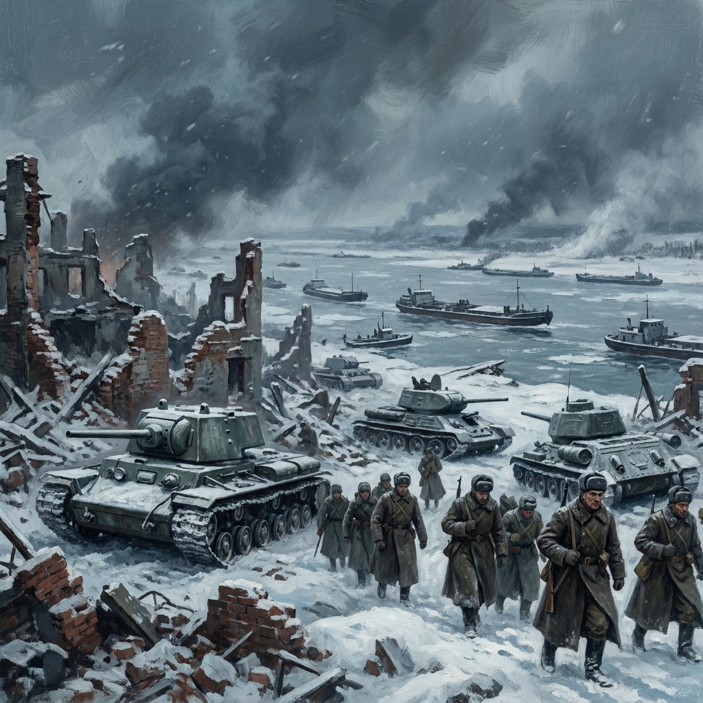
The core concept here is strategic geography. The lesson defines this as the study of how landforms, climate, and distance dictate the movement of armies and the decisions of national leaders during wartime. It uses the Battle of Stalingrad as the main example. It is a perfect case study for your class because it shows how the Volga River served as a vital supply route, while urban rubble hampered tank movement. The lesson also points out that the harsh Russian winter eventually turned the geography against the invading forces. It is a straightforward way to show that terrain is just as important as weaponry.
You will find the terminology is helpful and direct. Your students will work with terms like:
- Allied powers: The group of countries, including Great Britain, the Soviet Union, and the United States, that fought against the Axis powers.
- Axis powers: The alliance of Germany, Italy, and Japan that sought to expand their territory during the Second World War.
- Turning point: A significant event or moment in a war that changes the direction of the conflict in favor of one side.
Applying skills through guided practice
Once the students have a grasp on the vocabulary, the lesson moves to a practical application. They analyze the D-Day landings in Normandy. It forces the students to think like planners who had to weigh beach terrain, local weather patterns, and the distance from enemy defenses when choosing where to land. It is a great moment in the class to push students past simple memorization and into actual analysis. If you are looking for a high school strategic geography lesson to bridge those gaps, this works well.
My one caveat is that the lesson is brief. If your students are not already familiar with the general timeline of the war, you might need to provide a quick refresher before they start. However, if they have the basics, this is an excellent exercise for a substitute day or a quick intervention session. It does not try to do too much, which makes it very manageable for a single class period.
Connecting to the present
The wrap-up is surprisingly relevant. It reminds students that leaders today still analyze the environment to manage resources and maintain peace. When they hear about international border disputes or resource management in the news, they are seeing these same principles in action. It is a good way to end the lesson on a note that feels current rather than academic. It is a simple tool that helps students see that geography never truly stops being a major factor in international relations.
Related lessons
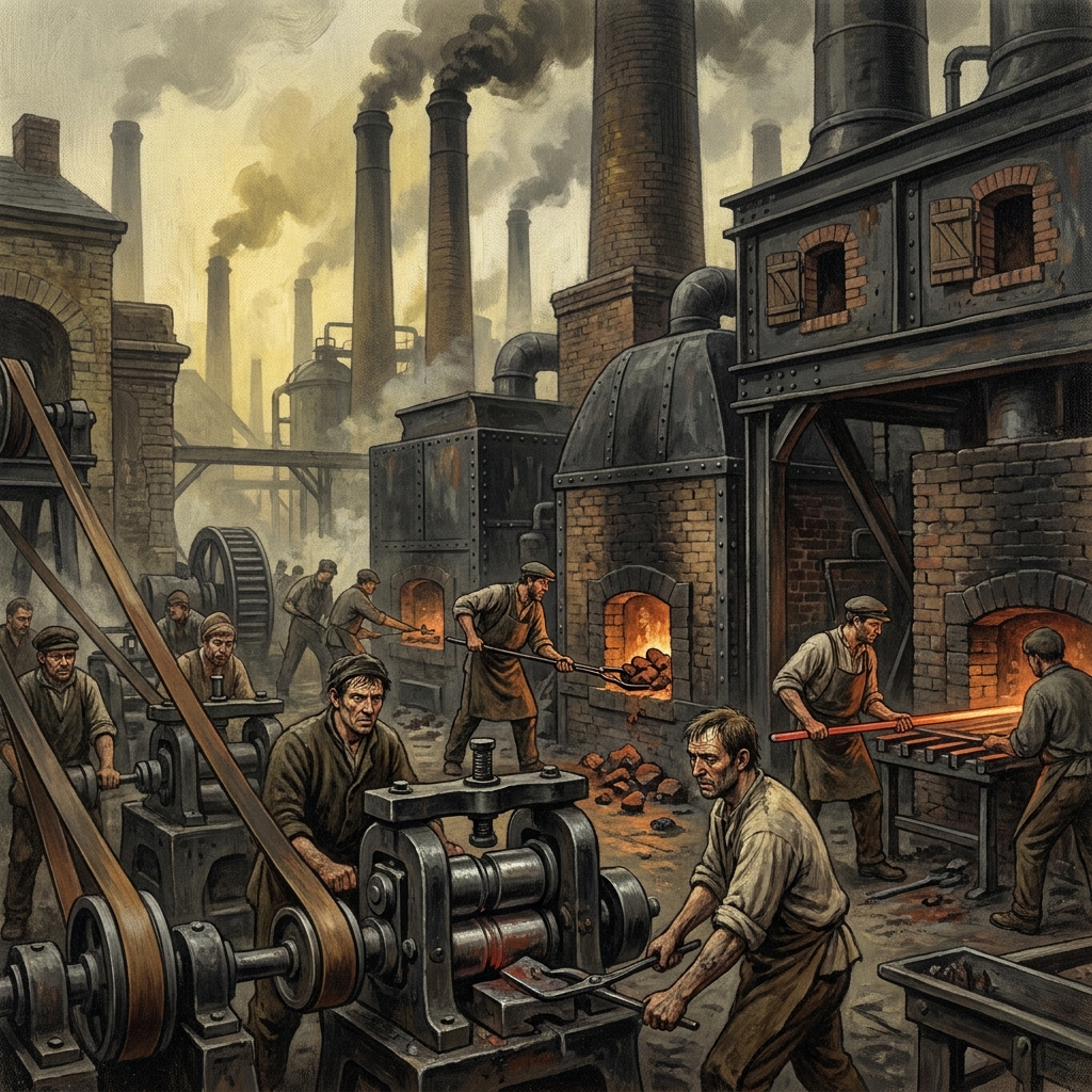
The Industrial Revolution: A Global Transformation, Covers how global industrialization changed manufacturing and world economic systems
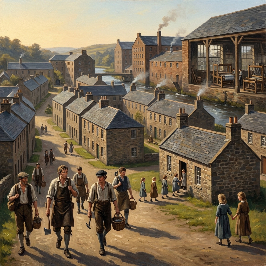
Capitalism and Its Critics, Analyzes the rise of capitalism and common economic counterarguments
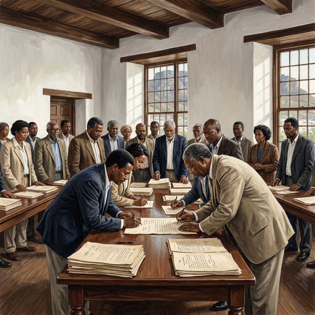
Democracy and Individual Freedom in the Modern World, Examines the development of democratic ideals and individual civil rights