

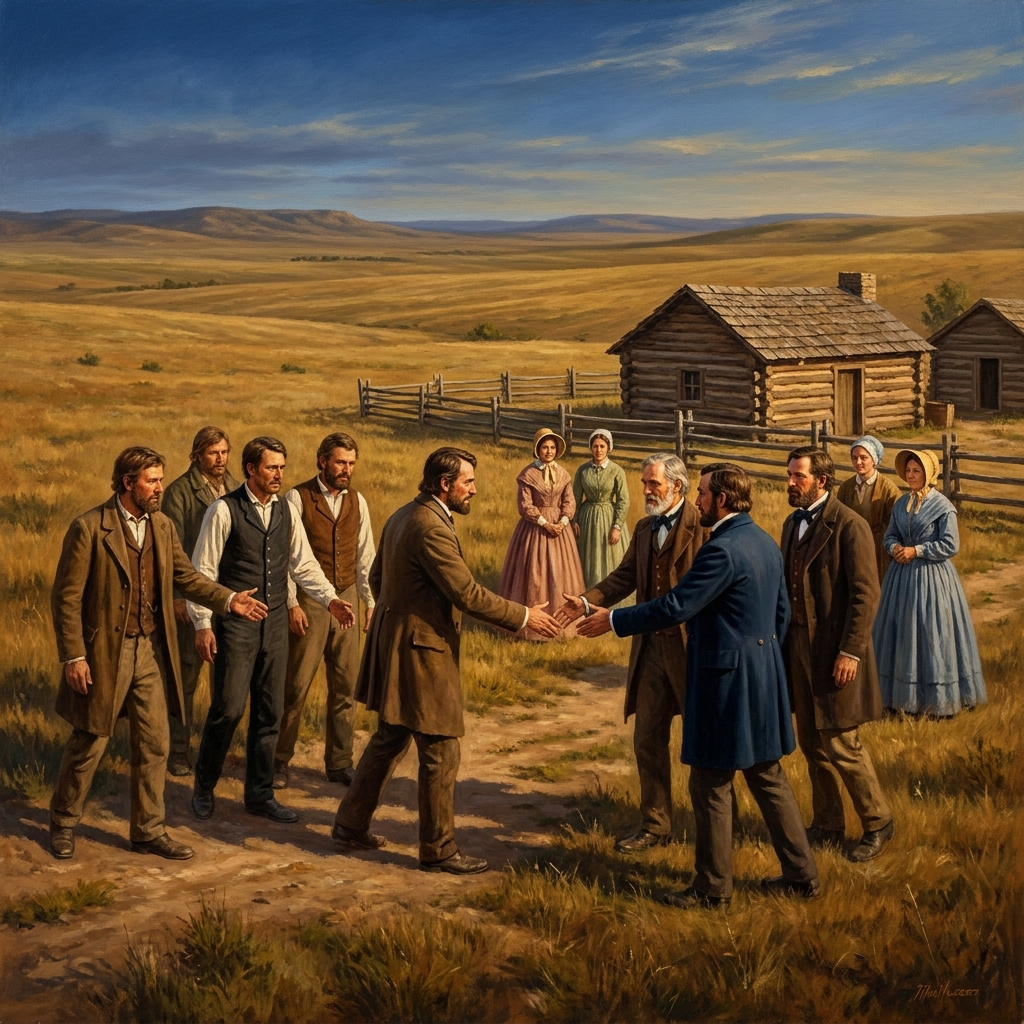
Eighth grade social studies requires students to look at how the maps we see today were not always fixed in place.
When you teach Growth and Conflict: The Expanding United States, you are giving your students a chance to look at the messy, specific, and often tense reality of how the American borders were drawn throughout the 1800s. It is an 8th grade social studies lesson that moves away from the simplistic narratives often found in textbooks and instead asks students to think like diplomats and cartographers. The material provided in this lesson is precise, focusing on how a new nation managed its place on a continent occupied by European powers and neighbors like Mexico. Whether you are using this as a whole-class assignment or for a student who missed the week of instruction, it provides a clear framework for understanding the period.
Analyzing the expansion of early America
The lesson starts by grounding students in the starting point of the United States. It identifies the 1783 Treaty of Paris as the defining document that created the initial boundaries after the American Revolution. This foundation is important because without understanding where the country began, students cannot grasp the scale of the expansion that followed. The lesson does not just show a map; it asks students to consider why those boundaries were in those specific locations. It sets the stage for the rest of the unit by emphasizing that our current national shape was the result of ongoing negotiation and conflict.
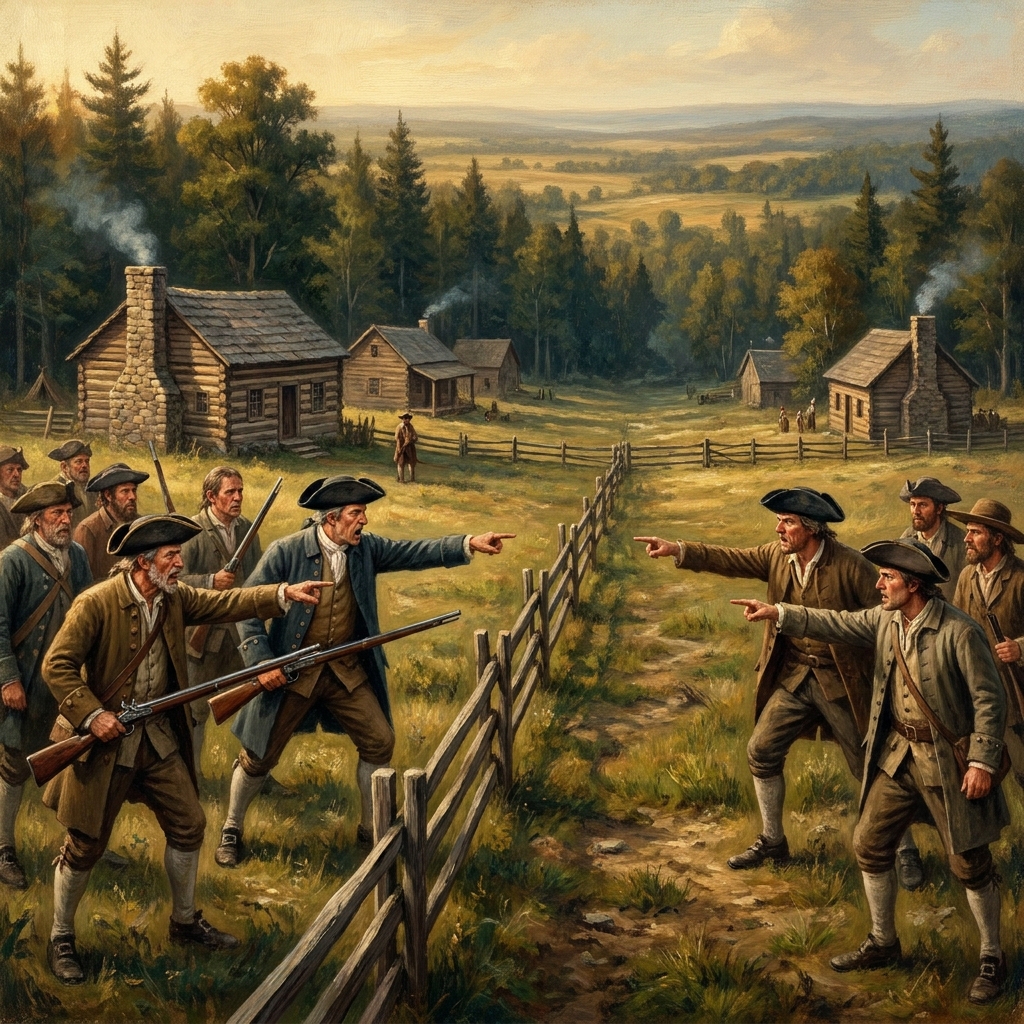
One of the most useful sections of this 8th grade social studies history lesson involves the annexation of Texas. By looking at the 1845 events where Texas joined the United States as an independent republic, students see that territorial growth was not always a result of direct combat. This provides a needed nuance to the story of expansion. It teaches students that adding territory was a political act involving domestic leaders and international counterparts. The vocabulary provided in the lesson, Monroe Doctrine, Annexation, Mexican Cession, and Diplomacy, gives students the specific language they need to articulate these historical shifts. I find that when students understand the distinction between a cession and an annexation, they stop seeing historical maps as static images and start seeing them as the results of specific, intentional decisions.
The guided practice moves into a scenario involving a diplomatic letter from a British official about the Oregon border. It is a fantastic exercise because it forces students to read a primary-source style document and analyze the motivations behind the text. The definition of diplomacy provided, the profession or skill of managing international relations, is applied here as the mechanism that kept the peace on the northern frontier. This helps students realize that the history of the United States is tied directly to the history of Canada and the broader British colonial interests. It makes the abstract concept of international relations feel grounded in real communication between people representing their respective governments.
Examining territorial changes through the standard
The lesson centers entirely on CA.HSS-8.5.2. This standard asks students to know the changing boundaries of the United States and to describe the relationships the country had with its neighbors, including Mexico and Canada, as well as European powers. It specifically highlights the influence of the Monroe Doctrine and the ways in which these foreign relationships shaped both westward expansion and the Mexican-American War. This is a tall order for an 8th grader, but the lesson breaks it down into manageable parts. It asks for the identification of borders, the analysis of specific foreign policy statements, and the connection between these policies and actual land acquisitions like the Mexican Cession in 1848. This approach is consistent across classrooms in Long Beach Unified, West Contra Costa Unified, Oxnard School District, and Winters Joint Unified, ensuring that students throughout the state are working with the same expectations for historical analysis.
I appreciate that the lesson includes a statement on why this matters. It links the historical process to the current work of the State Department. By making this connection, the teacher can show students that the processes of border negotiation and foreign policy are not confined to the history books but are part of how nations operate today. It turns the lesson from a requirement to get through into a look at how the world actually functions. The Monroe Doctrine, in particular, becomes something more than just a date to memorize when you discuss it as a boundary-setting move that signaled the American stance toward European interference in the Western Hemisphere.
Practical classroom application
This resource is incredibly flexible. If you are looking for a substitute day activity, this works because the structure is so clear that a student can read through the definitions, review the maps, and respond to the diplomatic letter prompt with minimal outside help. If you have a student on independent study, you can assign this as a self-contained unit that covers the necessary breadth of the standard without needing a constant teacher presence. The vocabulary terms act as an anchor, and the specific scenarios, Texas and Oregon, provide enough detail to keep the work substantive.
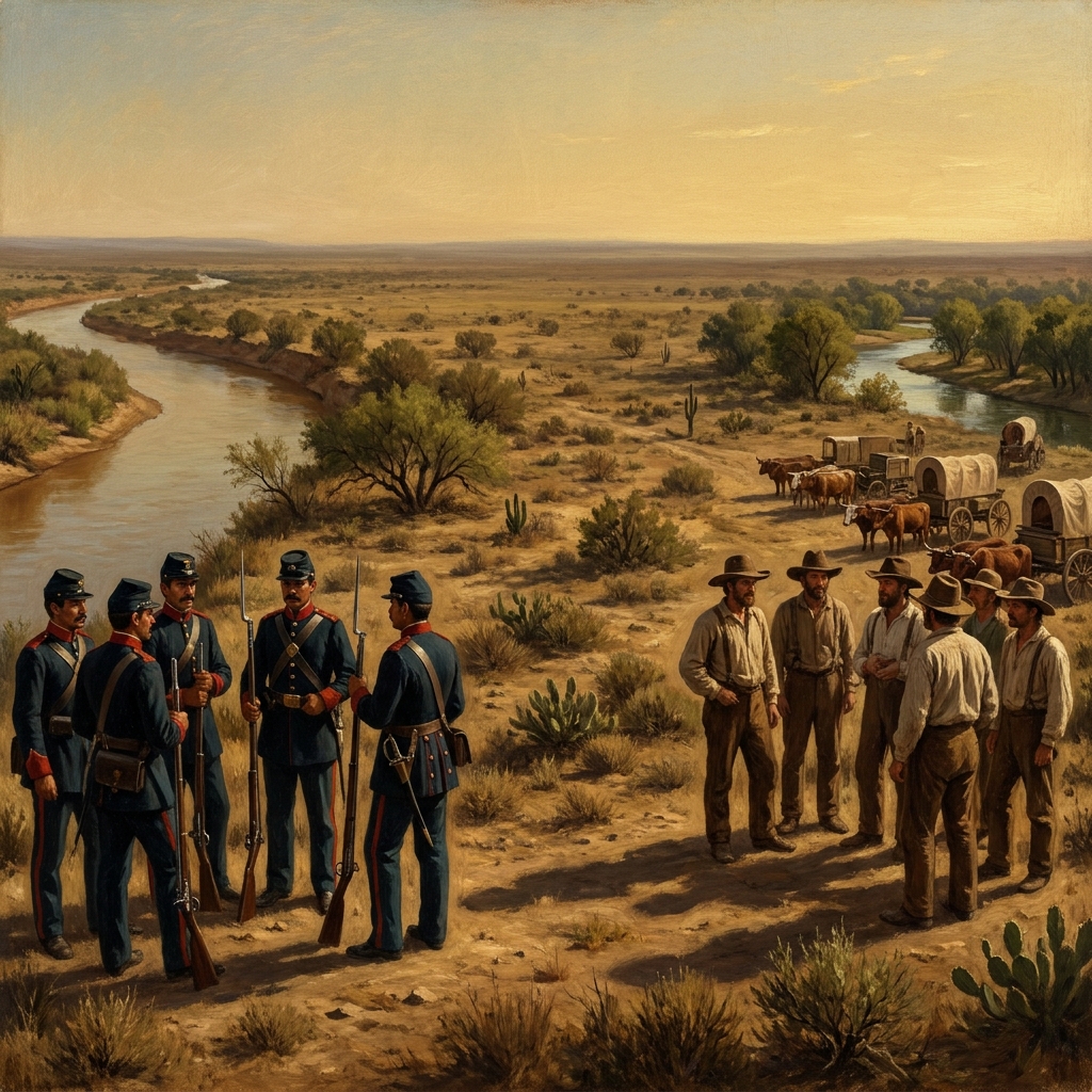
One caveat: the lesson is dense with historical terminology. You might find that some of your students need an extra moment to parse the difference between the land acquired through the 1848 Mexican Cession and the annexation of Texas in 1845. I recommend having a blank map ready when you teach this. Having them color in the territories as they read the lesson helps fix the geography in their minds. It is much easier for an 8th grader to understand the influence of the Monroe Doctrine when they can look at a map and see exactly which regions were being cautioned against European intervention. The lesson is well-structured, but the teacher remains the one who makes the geography meaningful by showing how the lines on the paper represented the movement and growth of the people.
Related lessons
The War of 1812: Sovereignty and Conflict, Covers conflict and national sovereignty during the War of 1812
Federalism and the Challenge of Nullification, Explores federalism and nullification challenges in early American politics

The American Revolution and the World, Examines global impacts and influences of the American Revolution