

Mapping begins with the classroom itself.
When we look at 2nd grade social studies, we find that understanding how to translate a physical environment into a symbolic map is one of the most practical skills a student learns all year. The Finding Places on a Map lesson does a straightforward job of introducing these concepts without overcomplicating the terminology.
What the lesson actually asks students to do
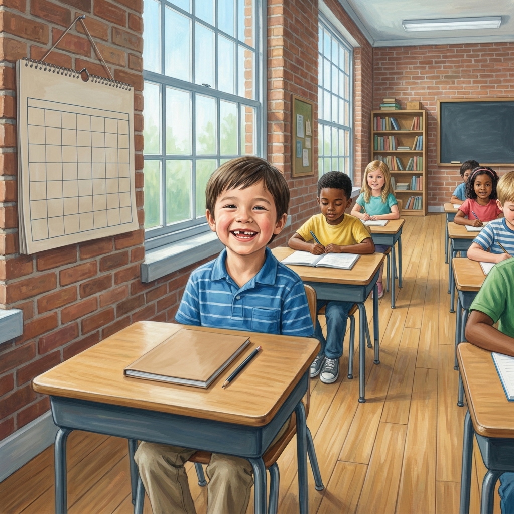
This lesson centers on the core objective of using grid lines and compass directions to pinpoint where objects and environments exist. It starts by grounding students in their immediate surroundings. Before moving to abstract maps, it asks them to treat their own classroom furniture as a grid. A teacher can explain that the teacher’s desk exists where grid line A meets grid line 1, which helps students visualize coordinate systems in a way that feels tangible.
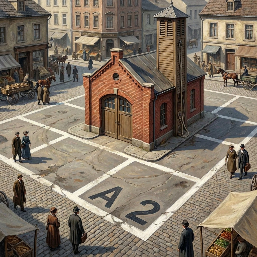
The lesson defines key vocabulary clearly. Students learn that grid lines are the lines on a map that cross each other to make squares, which help us find the exact spot of a place. The compass rose is introduced as a small drawing on a map that shows the directions of north, south, east, and west. Finally, absolute location is defined as the exact spot of a place, which we find by using the letters and numbers on a map’s grid. The lesson provides a concrete scenario to cement this: if a student looks at a fire station at A2 on a grid, they have identified an absolute location because the grid names that exact spot.
During the guided practice, the class moves from the classroom to a map of a town park. The lesson defines environments as the natural or human-made surroundings where we live, such as a park or a playground. By identifying that the fountain is at D4 on the park map, students apply the grid-reading skill to a new context. This specific material is currently used by educators in Sacramento City Unified, Fontana Unified, Orinda Union School District, and Templeton Unified to teach the same standard across the state.
Meeting the standard for second grade
This lesson aligns with the California-adopted CA.HSS-2.2. This standard asks students to demonstrate map skills by describing the absolute and relative locations of people, places, and environments. Achieving this involves teaching the nuances of orientation and representation so that children can move beyond basic identification.
Students learn to distinguish between the exactness of a grid square and the spatial relationship of objects, such as knowing a forest sits east of a town. The material provides a clear why-it-matters statement: Knowing how to read a map is very important. It helps delivery drivers find the right house to drop off packages. It also helps you find your way to a new park or a friend’s house. By framing the skill through delivery drivers or finding a friend’s house, the lesson connects abstract grid squares to the reality of getting from point A to point B.
How to use this material
This second grade social studies map lesson works well as a whole-class assignment when you are introducing your geography unit. However, it is also useful for a student who missed the week, as the self-contained nature of the map activity makes it easy for a teacher or a classroom aide to walk a single student through the steps in about forty-five minutes. It also works for a substitute day because the instructions for students are explicit and the task requires little preparation beyond printing the provided map materials.
I find that having students physically trace the lines on the grid with a finger prevents them from skipping squares. When they start to look at a map, they are decoding a symbolic language, and those who struggle often just need to see that the letters at the bottom and numbers on the side must meet at a single, shared box.
Where students slip
The most common error I see in second graders is confusing the horizontal and vertical labels on the grid. Some students try to jump to the coordinate without following the line from the letter to the number. They might identify the fire station, but they count the boxes rather than looking at the labels on the axes. The lesson handles this by keeping the grids simple, which is helpful, but you should keep an eye on students who try to count the lines instead of looking at the labels.
Another place they might stumble is the shift from absolute to relative location. They get the grid coordinate D4 easily enough, but when asked to describe where the fountain is relative to the park entrance, they might default back to coordinate language. Redirect them by asking them to use directional language like north or east instead of using letters and numbers. It takes practice for them to switch between those two different ways of thinking about space.
Related lessons
Yesterday and Long Ago, Comparing life in the past with life in the present
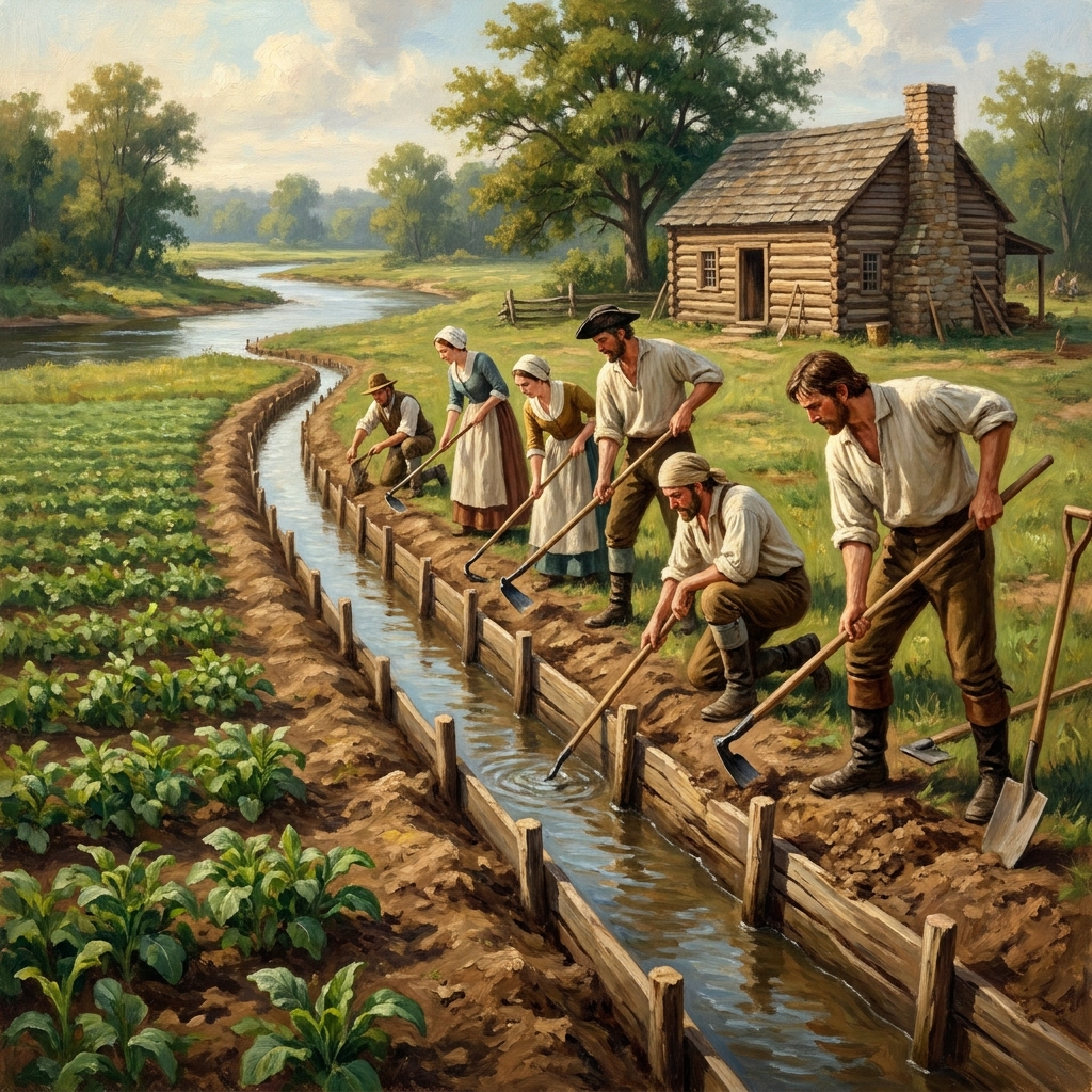
From Farm to Table: How Food Gets to Us, Tracing the path of food from farms to kitchens
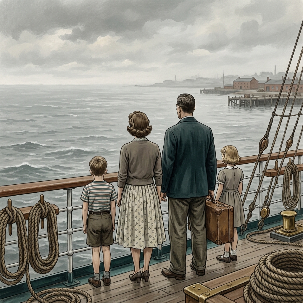
Tracing Our Family Stories, Learning how to research and share our own family history