

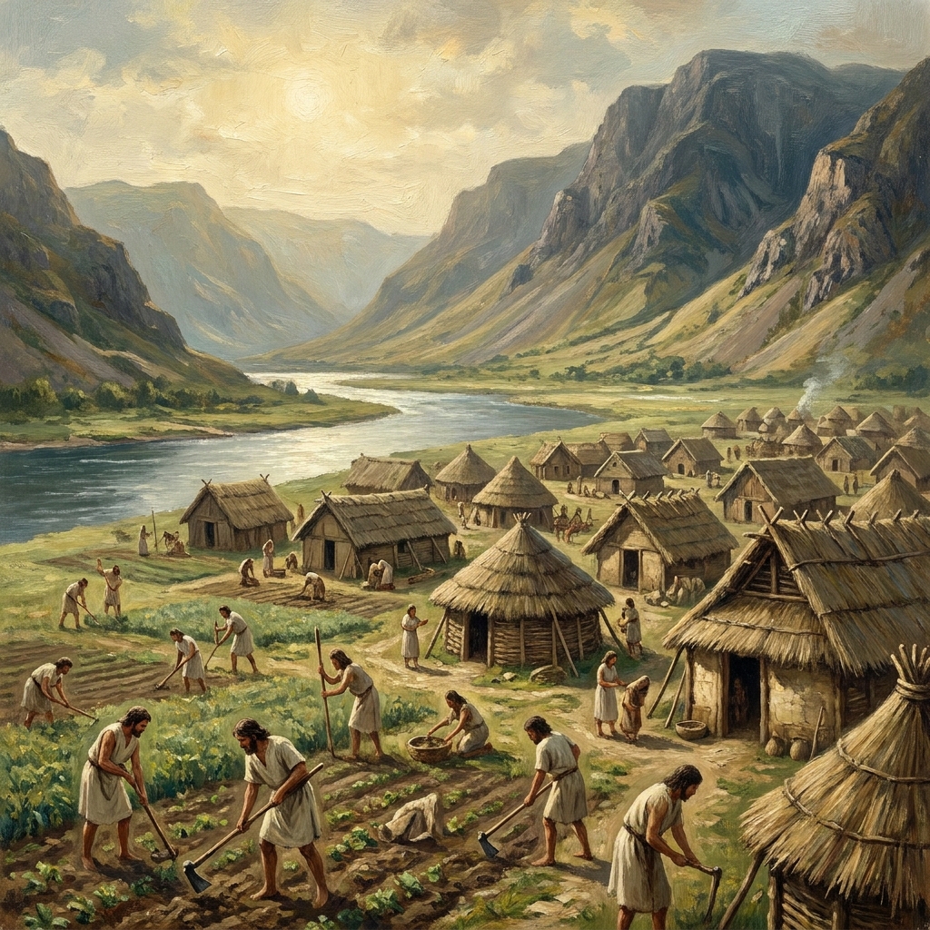
Most third graders assume people just pick a spot on a map and build a house. They struggle to see that the terrain, water sources, and topography dictate where communities settle. The Mapping Our World: Geography and Where We Live lesson pulls students away from that random-choice perspective and shows them the logic behind human settlement.
This 3rd grade social studies lesson is a focused 45-minute activity that connects environmental features to human behavior. Students examine why a village might grow next to a river for irrigation or why fewer homes appear on steep, rocky mountainsides. By evaluating these scenarios, students learn that spatial context is not just a vocabulary term, but a practical way to read a map. The material uses a simple but clear example of a village leader planning a new granary location, which shows how data like farmer density influences community infrastructure decisions.
How the lesson builds geographic reasoning
The lesson uses tables and bridge locations to help students practice their analytical skills. When a student works through this third grade geography lesson, they transition from merely looking at a map to interpreting how geographic features dictate trade and transport routes. This is particularly useful for intervention or independent study because the logic follows a step-by-step path: identify the physical geography, look at the human activity, and then conclude why that relationship exists.
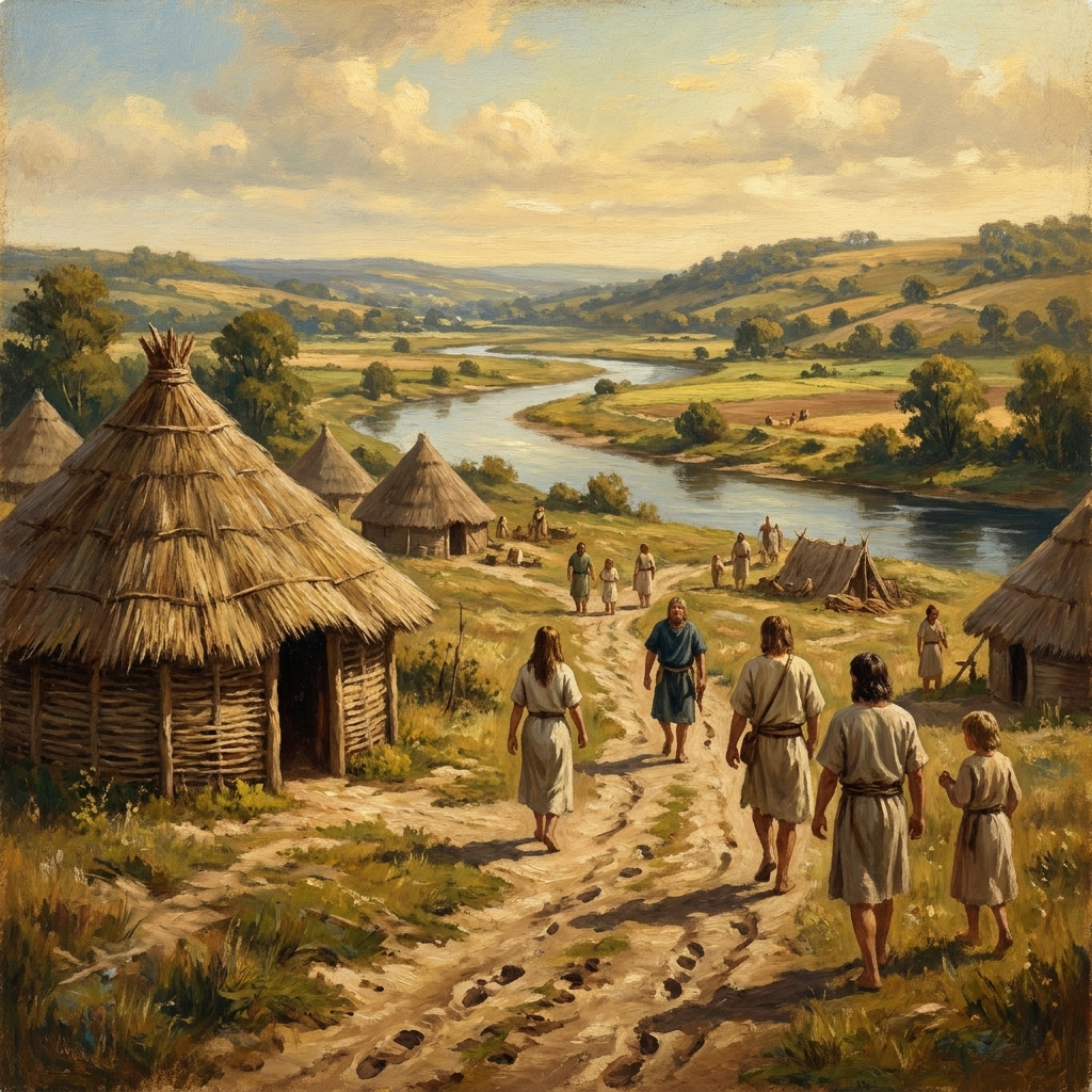
This lesson directly addresses CA.HSS-3.1, which requires students to describe physical and human geography using various tools to organize information about environments in a spatial context. This is the same standard expected of students across the state, from those in Visalia Unified to Oakland Unified, Val Verde Unified, and Berkeley Unified. When a student completes this, they are meeting a fundamental requirement of the California-adopted history-social science standards.
Practical classroom applications
If you are a counselor or an intervention teacher, you know that missing the connection between land and lifestyle can leave a gap in a student’s social studies foundation. This lesson is a perfect fit for a student who missed the week of core instruction or for a substitute day where you need something self-contained that requires genuine thinking. It also functions well as an independent study unit because the instructions are plain and the worked examples are clear enough that a student can self-correct as they go.
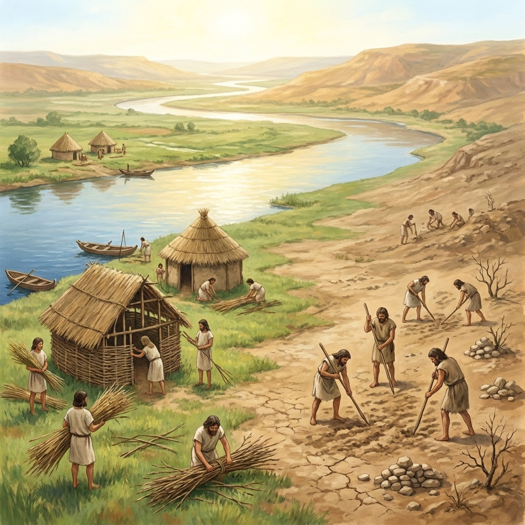
The strength here is the brevity of the focus. It does not try to cover all of world history or global geography. It stays narrow, ensuring that the child understands that the physical shape of the earth dictates where we build our bridges and our homes. By the end, a student should be able to look at a chart or a map and explain exactly why a town is located where it is. It is a straightforward way to check for understanding on a core standard without overwhelming the student with unnecessary extras.
Related lessons
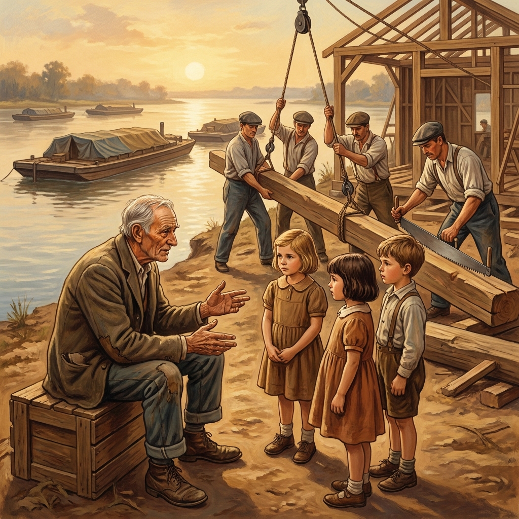
Exploring Our Community's History, Overview of local historical events and community growth
How We Produce Goods and Services, Basic economic concepts regarding local production and trade
Exploring Our Local Landscape, Examination of nearby natural features and physical geography