

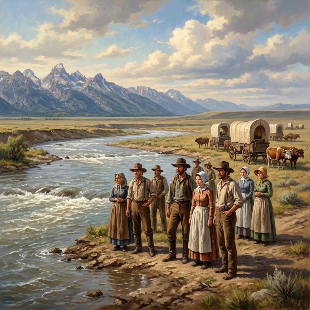
When I taught 5th grade social studies, one of the most common questions I heard was about why settlers chose such difficult paths to the West. It is a natural curiosity for a ten-year-old, and it points to a gap in how we often teach history. We tend to focus on the arrival or the destination, but the actual, gritty experience of the transit is where the most valuable lessons about human decision-making happen. This is why I appreciate the approach taken in Moving West: The Journey and the Land. It forces students to stop and look at the map not just as a space to conquer, but as a set of physical conditions that dictated every single choice those settlers made.
This lesson is designed for 5th grade social studies, focusing on the United States history and geography of making a new nation. It is a solid choice for a whole-class assignment when you are covering westward expansion, but it also works exceptionally well for independent study or as a focused day for a substitute. The material centers on the objective of explaining how the land and the environment influenced the specific choices settlers made on their journey to the West. It does not just ask students to memorize the route of the Oregon Trail. Instead, it asks them to weigh the physical obstacles, like the Rocky Mountains, which the lesson describes as a giant wall of stone standing between the settlers and their destination.
Parsing the standard
To understand what this lesson requires, we have to look closely at the California-adopted standard CA.HSS-5.8.4. This standard is fundamental for our history curriculum. It is taught with the same expectations for student mastery across the state, whether you are in the Chula Vista Elementary School District, the Anaheim Elementary School District, the Belmont-Redwood Shores Elementary School District, or the Mariposa County Unified. The standard asks for a discussion on the experiences of settlers on the overland trails. This means moving beyond dates and names to explore the human experience. It also demands that students identify the location of the routes and the purpose of the journeys, which connects back to the broader, often complicated concept of Manifest Destiny. Most importantly, the standard requires an examination of the influence of the terrain, rivers, vegetation, and climate, as well as an understanding of life in the territories at the end of these trails. It is a heavy standard because it asks students to think like geographers and historians at the same time.
The reality of the trail
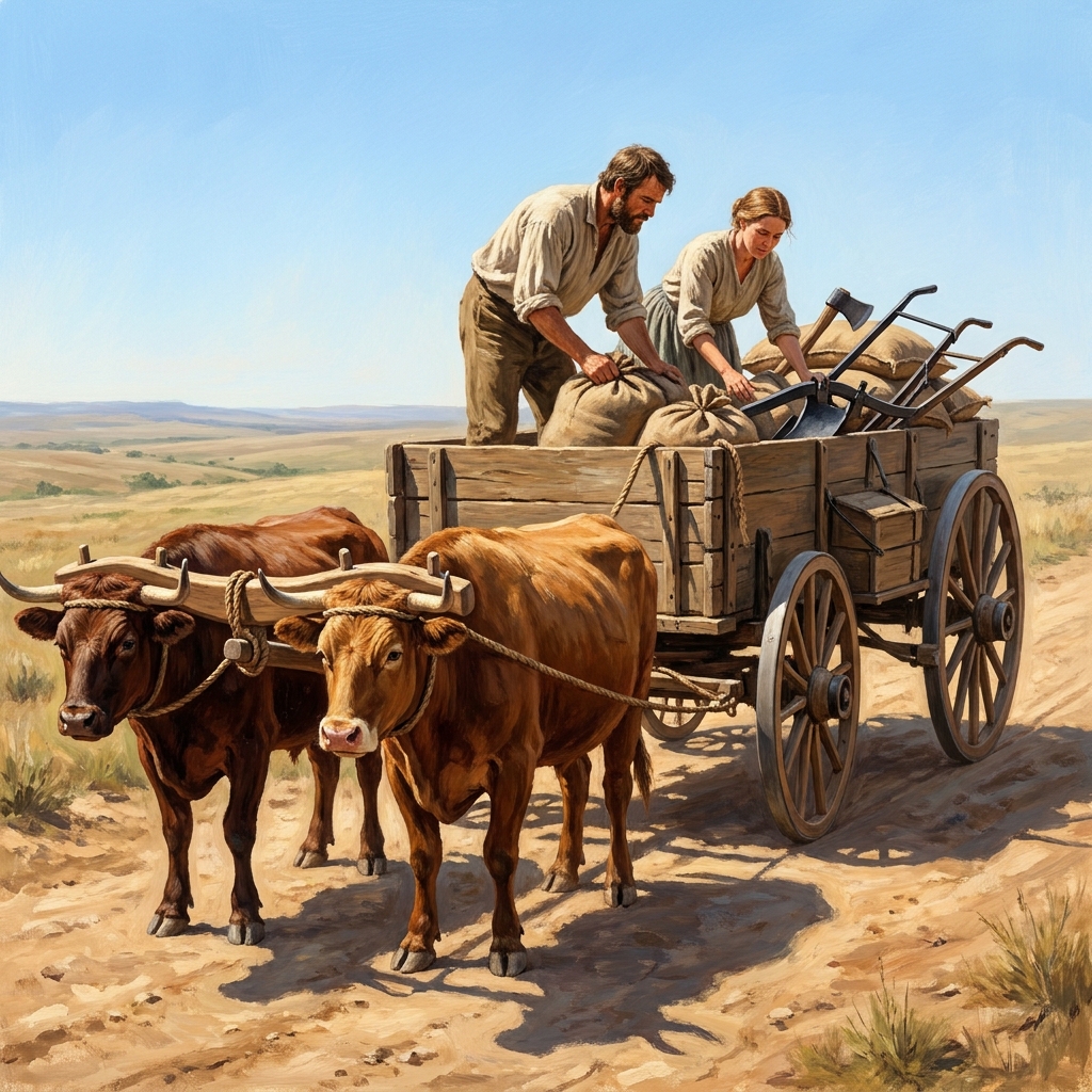
If you are looking for a 5th grade social studies lesson on westward expansion that provides concrete examples rather than abstract theories, this is a good fit. The lesson provides a clear worked example regarding the Platte River. Crossing that river was not just a historical footnote. It was a massive technical problem for settlers. The water was wide and the current was powerful. Settlers had to wait for the water to be low enough to cross safely. This is a perfect, bite-sized example of environmental influence. The lesson demonstrates that the condition of the river directly decided when the travelers could continue. It shows how the land acted as a governor on the speed and viability of their entire movement. Students also learn several key vocabulary terms that anchor these concepts:
- Overland trail: A long, dirt path that settlers used to travel by wagon from the eastern United States to the West.
- Manifest Destiny: The belief held by many Americans in the 1800s that it was their right and duty to expand across the entire continent.
- Terrain: The physical features of a piece of land, such as whether it is flat, hilly, or mountainous.
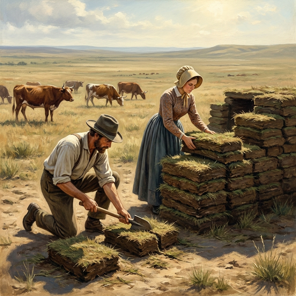
- Sod house: A home built from blocks of thick grass and dirt because wood was hard to find on the open plains.
These terms are not just definitions. They are tools for the students to use when they look at the guided practice scenarios in the latter half of the lesson, where they have to apply what they have learned to new, hypothetical territories.
Where students slip
One caveat I have noticed when teaching this is that students sometimes underestimate how much of a struggle the physical world was. We live in an era where we can get from one side of the country to the other in a few hours by plane, and GPS directs us around traffic. It is hard for 5th graders to conceive of a time when the terrain was the primary obstacle. I always lean on the why-it-matters section of this lesson. It explains that rivers were the highways of the 19th century. Reminding students that cities are located where they are specifically because rivers provided water, livestock resources, and easier paths is the bridge they need to understand the past. When they realize that settlers followed river valleys because the land forced them to do so, the history becomes logical rather than just a story of adventure. It becomes a story of survival and practical engineering.
Related lessons
Exploring the New Nation, Foundations of early American government and constitutional developments

Growing the Nation: Expansion and Conflict, Territorial growth and the resulting sectional tensions
Power and Liberty in American Democracy, Debates regarding individual rights versus government authority