

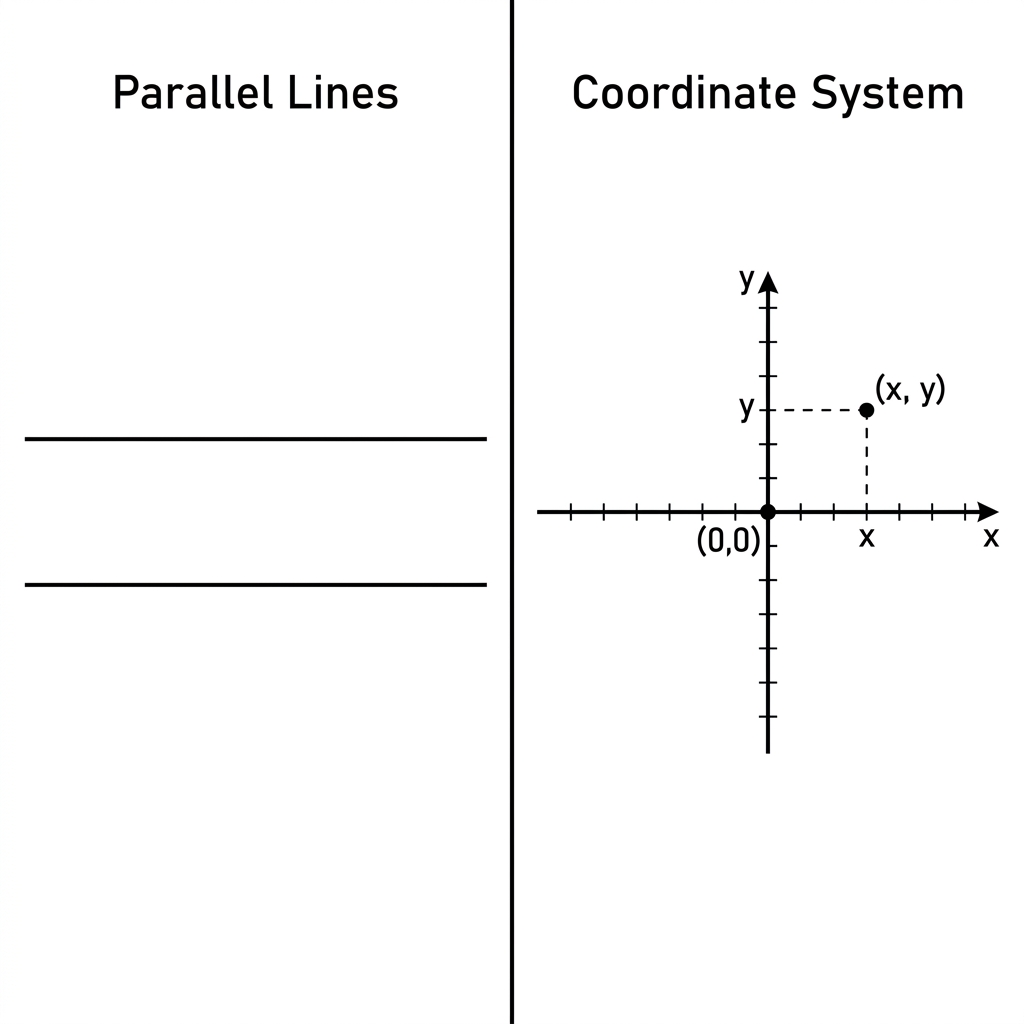
This lesson does not try to teach the entire history of cartography or the complex systems used by global satellites. Instead, Mapping Our World with Coordinates keeps its focus entirely on the foundational skill of representing points in the first quadrant of a coordinate plane. For 5th grade mathematics, this is the starting point for students to visualize how two separate number lines working together can describe a specific location on a flat surface. Students spend about 45 minutes moving from their existing knowledge of single-dimensional number lines to understanding how an x-axis and y-axis intersect at the origin to form a grid.
The material begins by building on what your students already know. They are comfortable using a number line to find a single value, so the lesson bridges that gap by introducing the coordinate plane as a pair of crossing lines. To make this abstract concept concrete, the lesson uses the example of a school garden. Students learn that a tomato plant can be placed at a point identified by the coordinate pair (2, 3). This is an effective way to show that we are not just graphing numbers for the sake of graphing; we are mapping a physical space. When you see a student struggling to distinguish between the horizontal movement on the x-axis and the vertical movement on the y-axis, return them to the garden analogy. It is a simple way to keep the geometry grounded in something they can visualize.
What students actually do in this lesson
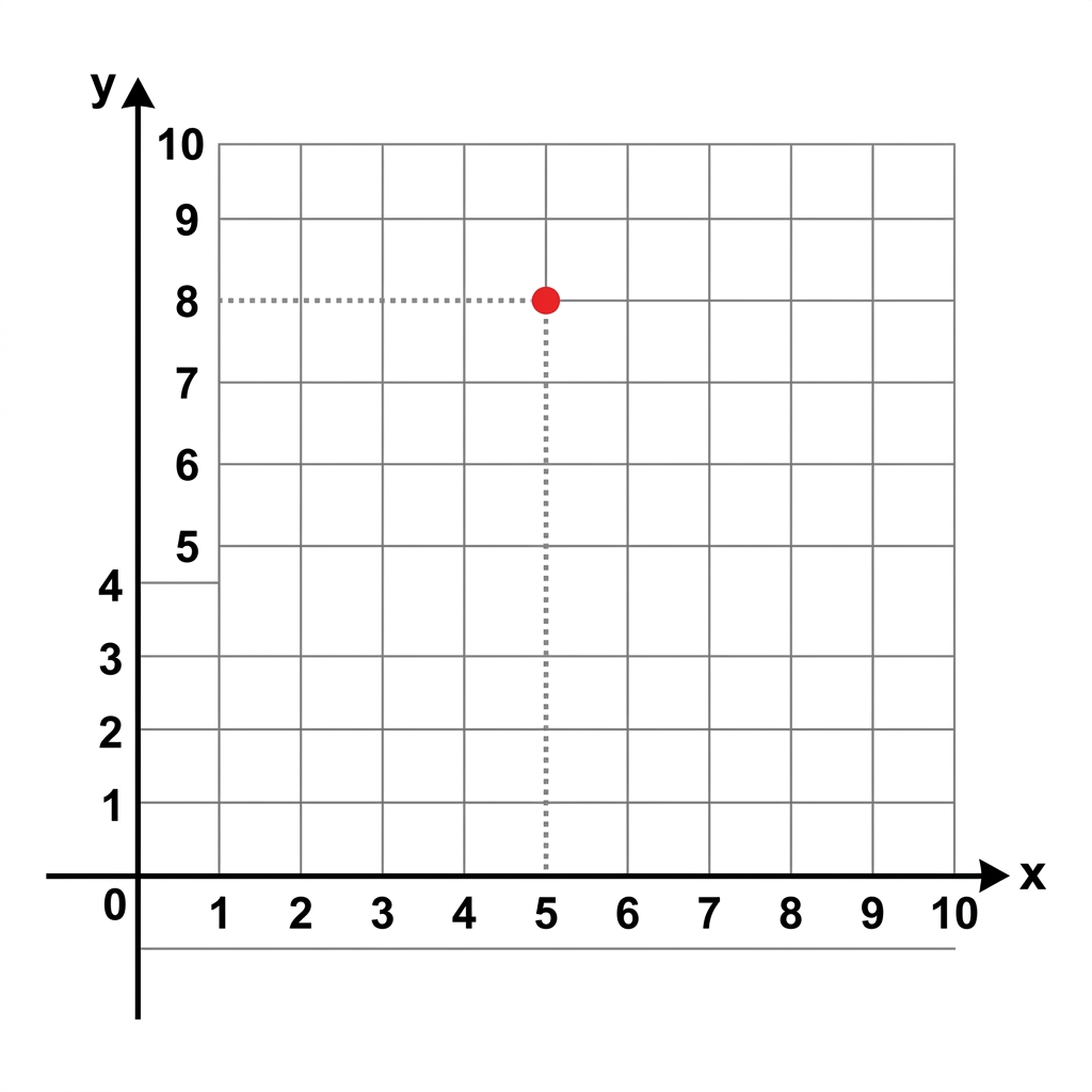
Once the basic vocabulary is established, defining the coordinate plane, x-axis, y-axis, and origin, the lesson moves into active application. Students work through a scenario involving a treasure map where the gold is buried at (5, 8). They learn to translate these two numbers into a specific location by moving five units across the x-axis and eight units up the y-axis. This process is core to teaching coordinate plane geometry, as it forces students to pay close attention to the order of the numbers in the coordinate pair. If a student swaps them, they end up in the wrong spot, which makes the check for accuracy built into the guided practice quite satisfying for them.
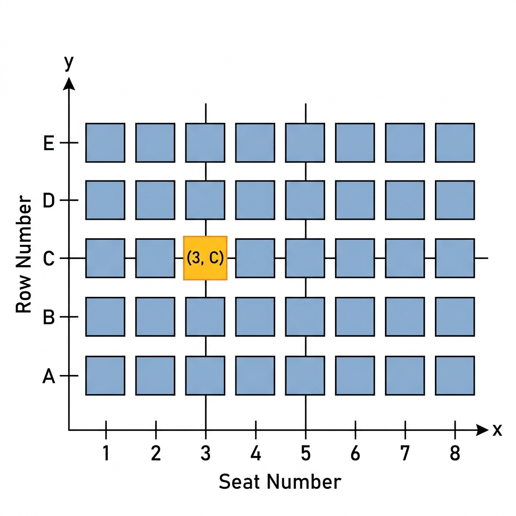
The guided practice continues with a library floor plan. Students have to locate specific books on a grid, which acts as a great transition from the abstract graph to a real-world utility. This approach is what the standard CA.MATH.5.G.2 asks for in the California Common Core standards for mathematics. Specifically, this standard requires students to represent real-world and mathematical problems by graphing points in the first quadrant and, importantly, to interpret what those values mean in context. This expectation is the same for students across the state, whether they attend schools in Elk Grove Unified, Fontana Unified, Montebello Unified, or Live Oak Elementary School District.
Supporting students as they learn grid systems
One of the most common spots where students slip is the origin. They often want to start counting at one rather than zero. Reminding them that the origin is where both axes meet at zero is a conversation you will likely have several times. The lesson handles this well by explicitly defining the origin as the starting point of their movement. When I look at how this fits into a weekly plan, I see it working well as a whole-class introduction, but it is also excellent as an independent study assignment for a student who missed the week of geometry instruction. It is focused enough that an absent student can get the hang of the x and y axes without needing a long, complicated lecture.
Another area to watch is the interpretation of the coordinates. The why-it-matters section of the lesson points out that logistics coordinators use these grids to manage shipping routes and help trucks find efficient paths. When your class is working through the library floor plan exercise, ask them to talk through why those specific coordinate values represent measurable attributes, like distance from a main gate or a loading dock. Pushing them to articulate the link between the number and the physical space is where the real learning happens. It stops being a game of find-the-dot and starts being a tool for describing the world. If you have a student who is ready for a challenge, ask them to create their own map of the classroom and define the coordinates for the desks, the whiteboard, and the door. It forces them to apply the same logic used in the library example to their immediate surroundings.
This lesson is a manageable, clear way to tackle the requirement for graphing in the first quadrant. Keep an eye on how they label their axes, as that is the next most common error I see in 5th grade classrooms. If they can get the axes labeled correctly and understand the origin, they have the foundation needed for more complex coordinate work in later years. It is a straightforward, no-nonsense path to meeting a key standard.
Related lessons
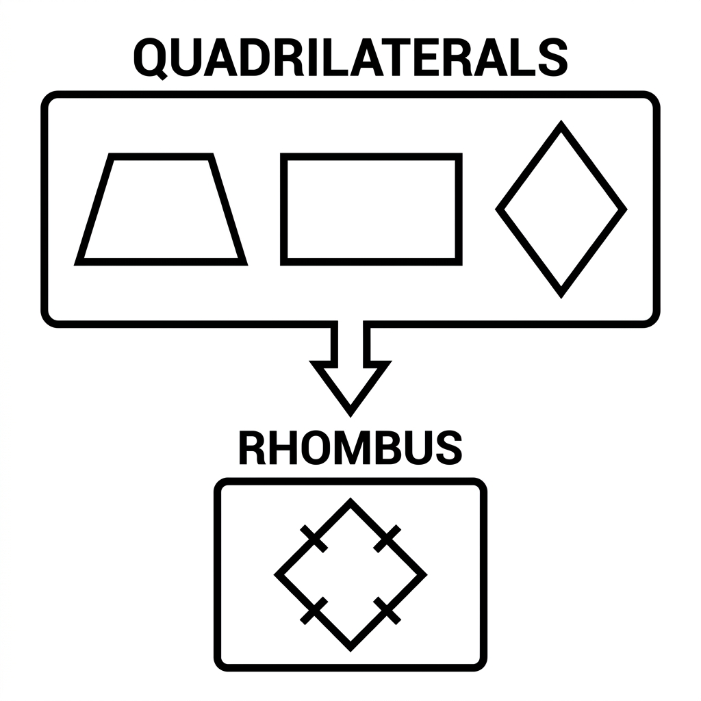
Understanding Geometric Hierarchies, Explore how different shapes relate to one another in hierarchy
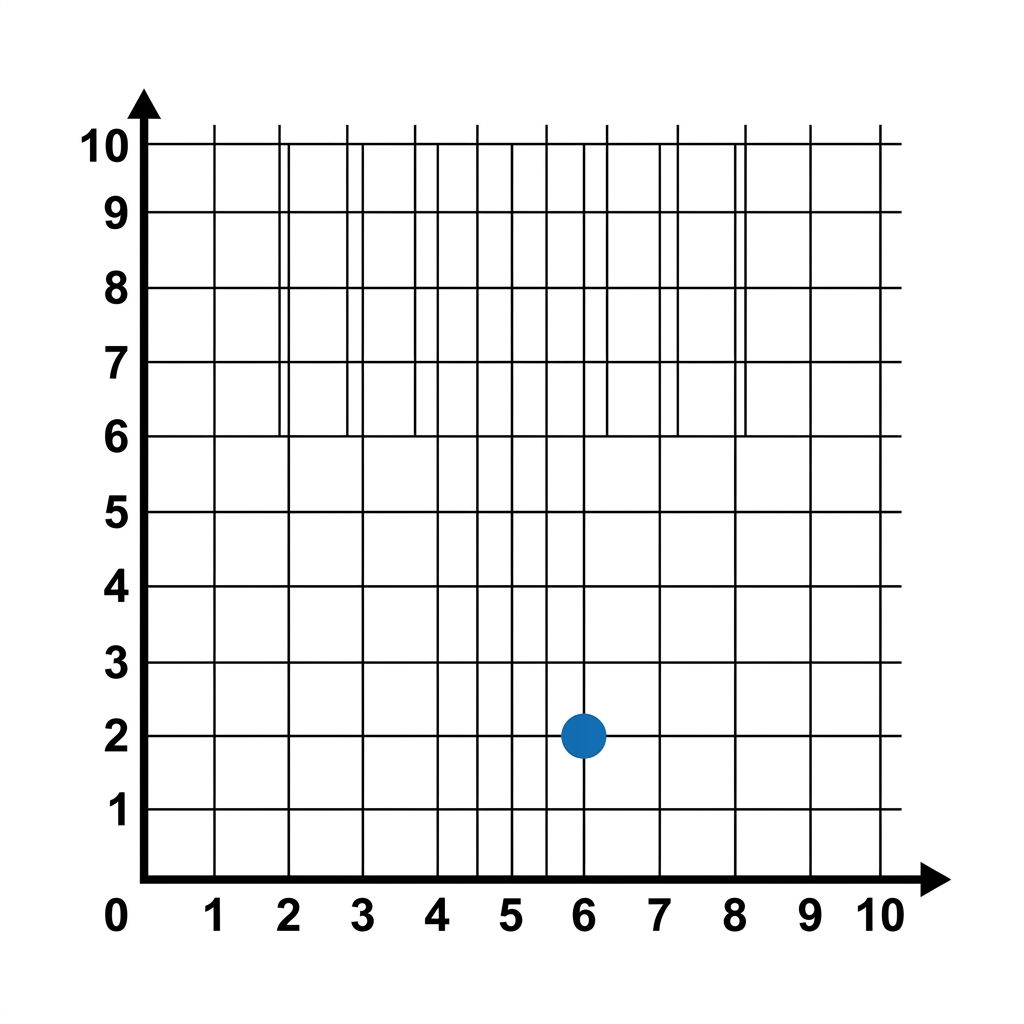
Finding Your Way on a Grid, Practice navigation skills using a standard coordinate grid system
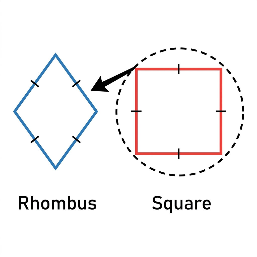
Classifying Shapes by Their Properties, Categorize various geometric shapes based on their specific physical attributes