

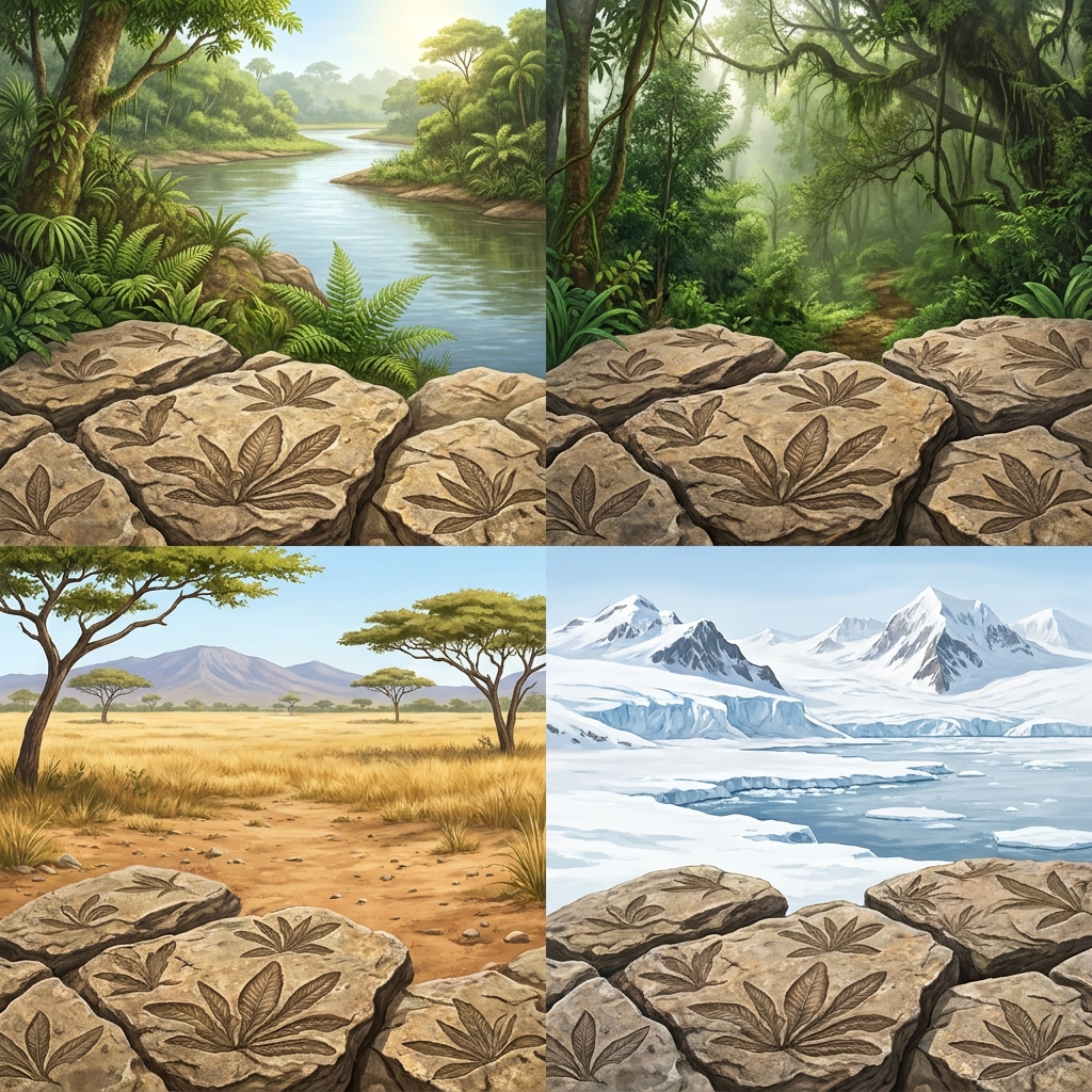
Teaching middle schoolers about geology often feels like we are asking them to imagine things that happen too slowly to see. This lesson, Evidence for Plate Tectonics, does not attempt to explain the entire history of the universe. Instead, it sticks to a specific, manageable goal: helping your sixth grade science students grasp how Earth’s surface shifts over millions of years.
The work of teaching Earth science centers on the standard CA.MS-ESS2-3. This California-adopted standard asks for something specific. It does not just want students to memorize the names of the tectonic plates or read a textbook passage about volcanic eruptions. It demands that they analyze and interpret data regarding where we find specific fossils, rock types, the shapes of the continents, and the structures of the seafloor. This is the heavy lifting of science. When a student learns to look at a map of fossil locations and conclude that two continents were once joined, they are doing the work of a geologist. They are moving past rote memorization and into evidence-based thinking.
Analyzing the standard as a student task
To meet this, the class must examine physical data. The standard requires that students “Analyze and interpret data on the distribution of fossils and rocks, continental shapes, and seafloor structures to provide evidence of the past plate motions.” That single sentence sets the bar for every classroom in the state. Educators in Pajaro Valley Unified, Tulare City School District, Byron Union Elementary School District, and Carmel Unified rely on this requirement to help students connect the pieces of the puzzle. They are teaching a version of Earth and Space Sciences where the curriculum reflects the physical reality of the ground beneath our feet. This is how the integrated middle school model in California functions. It weaves physical, life, and Earth sciences together so that students see the connection between the history of the earth and the present day.
How the lesson builds the evidence
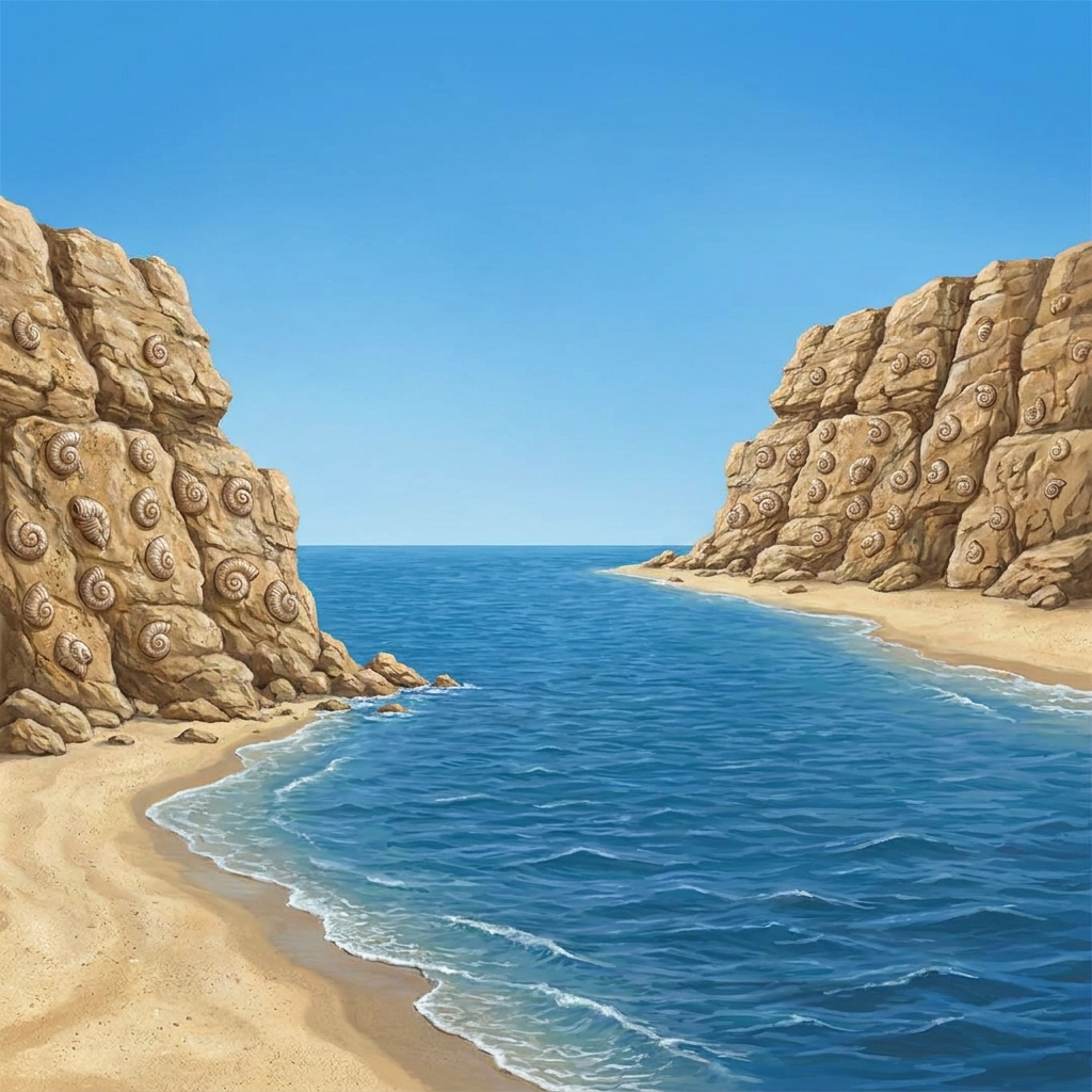
The lesson starts with a familiar observation. It reminds the students that the coastlines of South America and Africa look like they might fit together. It uses the metaphor of a jigsaw puzzle to explain that continents were once one. Then, it introduces the Glossopteris fern. This is a perfect example of why this material works. Students see that a plant fossil exists in places as far apart as Africa, India, Antarctica, and South America. Since the plant could not cross a vast ocean, the data forces them to realize the land must have been connected at one time. This is where the 6th grade science plate tectonics lesson really shines because it forces students to argue from evidence rather than opinion.

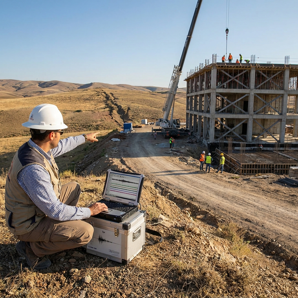
The lesson also addresses the idea of Pangea. Students work through a guided practice where they reconstruct the supercontinent. It is a tactile experience that makes the abstract movement of plates feel real. I appreciate the why-it-matters section included in the material. Plate tectonics is not just about ancient history. It directly explains the seismic activity we live with in our state. The lesson explains that the movement of plates along the San Andreas Fault causes the earth to shake. It defines seismic activity as the frequency, type, and size of earthquakes in a specific region. This makes the concept of tectonic plates relevant to the life of a California student. It also explains how the movement shapes the landscape, creating the mountain ranges that dictate our local climates and watersheds. It even links to the ecosystems that define our region. Furthermore, it helps students understand how the uplift of mountains creates the watersheds that provide essential resources for our rivers and reservoirs.
One limitation is that the lesson moves quickly through the seafloor structure portion. I find my own students often need an extra day to look at the patterns of the mid-ocean ridges. You might want to pull in an extra map or two to help them visualize how the seafloor is expanding. However, the existing materials provide a strong foundation for a student who missed the week or needs intervention. It works well for a substitute day or independent study as well. I like that this lesson keeps things grounded in real evidence. It asks the students to interpret maps rather than just reading about them. It respects the student intelligence by giving them the data they need to build their own conclusions.
Related lessons
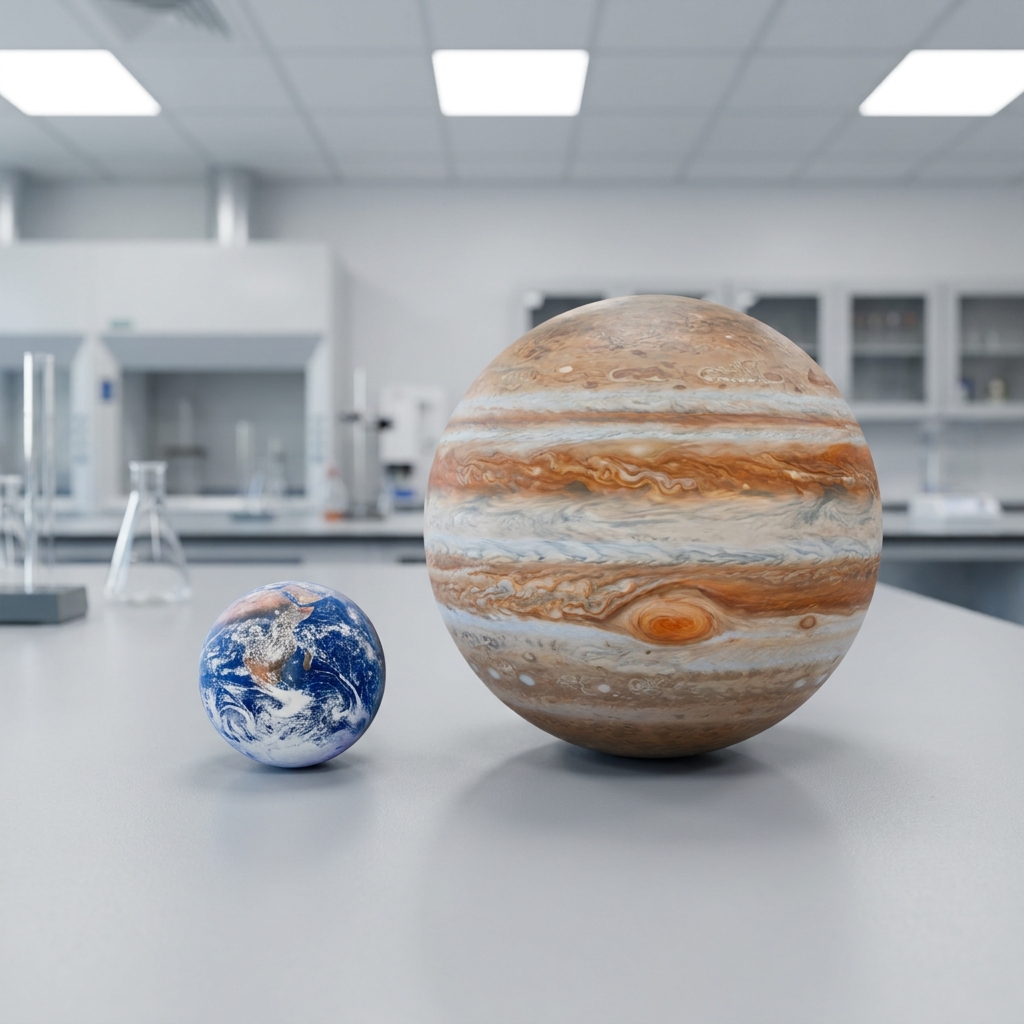
Mapping the Solar System: Scale and Distance, Understanding relative distances and sizes of objects in our solar system
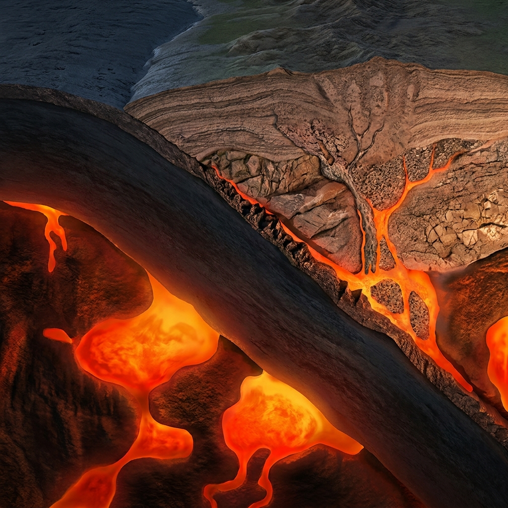
Earth's Changing Materials, The rock cycle processes that change Earth materials over time
Forecasting Natural Hazards in California, Predicting risks from seismic activity and natural hazards in California