

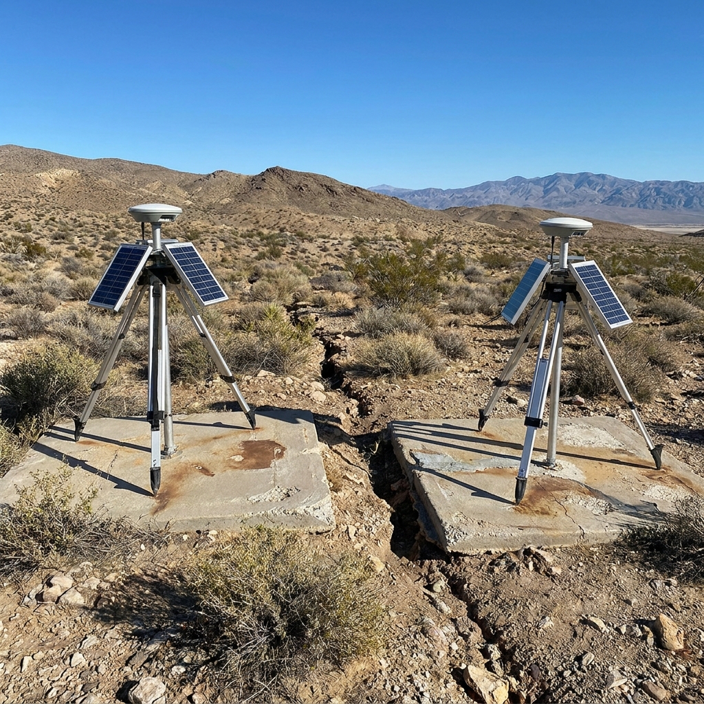
A few years ago, a student asked me how we could possibly know the earth is moving when everything we see outside seems so still. It is a fair question for any high school science class. We know the ground beneath us is active, but the scale of geological time and tectonic motion makes it difficult for students to visualize. This lesson, Tectonic Forces and the Ages of California’s Crust, helps clear that up for high schoolers in our Biology – Earth and Space Sciences courses by focusing on the physical evidence of our shifting environment.
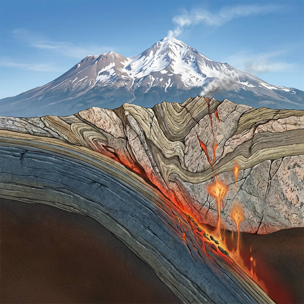
The lesson centers on the core concept of plate tectonics and crustal evolution. It requires students to use actual geological evidence to explain how plate movements shaped the age and features of the crust in California. This is a solid approach to the HS-ESS1-5 standard. This California-adopted standard asks students to evaluate evidence for the past and current movements of both continental and oceanic crust, while using the theory of plate tectonics to explain why crustal rocks have different ages. The lesson also covers the California-specific addition to this standard, which expects students to analyze evidence like the transform boundary of the San Andreas Fault system, the subduction zone volcanism found at Mount Shasta and Lassen Peak, and the northward migration of the Pacific Plate. Teachers in Mt. Diablo Unified, Victor Valley Union High School District, Claremont Unified, and Imperial Unified all use this same standard to help students understand these geological processes.
Understanding the mechanics of crustal motion
When you start this plate tectonics and crustal evolution lesson, the prior-knowledge section does a nice job of setting the stage. It explains that the crust is made of large, moving sections known as tectonic plates. It points out that rocks at mid-ocean ridges are youngest at the center and get progressively older as they spread outward, which confirms that new crust is constantly being created. This provides a necessary foundation before moving into the specifics of California geology.
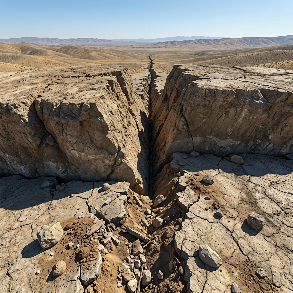
I find that students get the most out of this when they work through the provided examples of relative motion. The lesson uses a specific scenario involving two GPS stations located on opposite sides of a fault. In this example, one station moves 35 millimeters per year while the other remains nearly stationary. Showing students this data allows them to conclude that the fault is slipping at that annual rate. It is a concrete way to prove that the plates are sliding past each other, rather than just talking about it as an abstract theory.
Vocabulary and conceptual hurdles
As you move through the lesson, keep an eye on how the class handles the specific vocabulary. You will want to make sure they can define and distinguish between these three terms:
- Plate Tectonics: The scientific theory that Earth’s rigid outer shell is broken into several large plates that move over the mantle.
- Subduction: The process where one tectonic plate sinks beneath another plate into the mantle.
- Transform Boundary: A place where two tectonic plates slide horizontally past one another.
The guided practice setup is where the real work happens. Students are asked to look at how continental crust, which is the thicker and less dense portion of the Earth, reacts differently than oceanic crust. Since continental crust resists subduction, it interacts with other plates through faulting or mountain building. This is the perfect moment to help them grasp why North America acts as a stationary target while the Pacific Plate continues its northward movement at 50 millimeters per year.
Practical application in the classroom
One aspect I appreciate about this material is the why-it-matters section. It connects these slow geological movements to the daily lives of your students by discussing earthquakes and volcanic risk. By understanding these plate movements, students start to see the relevance of designing buildings and managing infrastructure to stay safe in areas near active fault zones. It shifts the topic from being purely about old rocks to being about the safety of their own communities.
This lesson is designed to take about 45 minutes, which makes it a very flexible tool for your planning. It fits perfectly as a whole-class assignment if you are currently on the unit. I also suggest keeping it in your back pocket for a student who missed the week of regular instruction or for those times when you need a high-quality, content-rich activity for a substitute teacher. It is specific, requires zero guesswork, and keeps students focused on the standards without being overly wordy or abstract.
If you find that your students struggle with the GPS data interpretation, spend a few extra minutes explaining how we measure these tiny yearly changes. Once they see the numbers as evidence rather than just statistics, the rest of the plate movement concepts usually fall into place. It is a straightforward way to meet the requirements of the Earth and Space Sciences cluster, and it helps your students walk away with a clearer understanding of why the physical surface of California looks the way it does today.
Related lessons
California's Natural Environment and Human Life, Discusses interactions between California natural environments and human population development
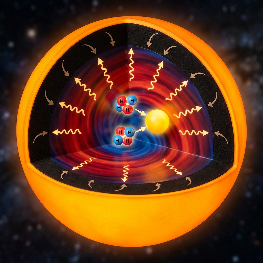
The Sun's Energy Engine, Explains the role of the Sun in driving Earth systems
Forecasting California's Climate Future, Analyzes potential changes in future California climate patterns and data