

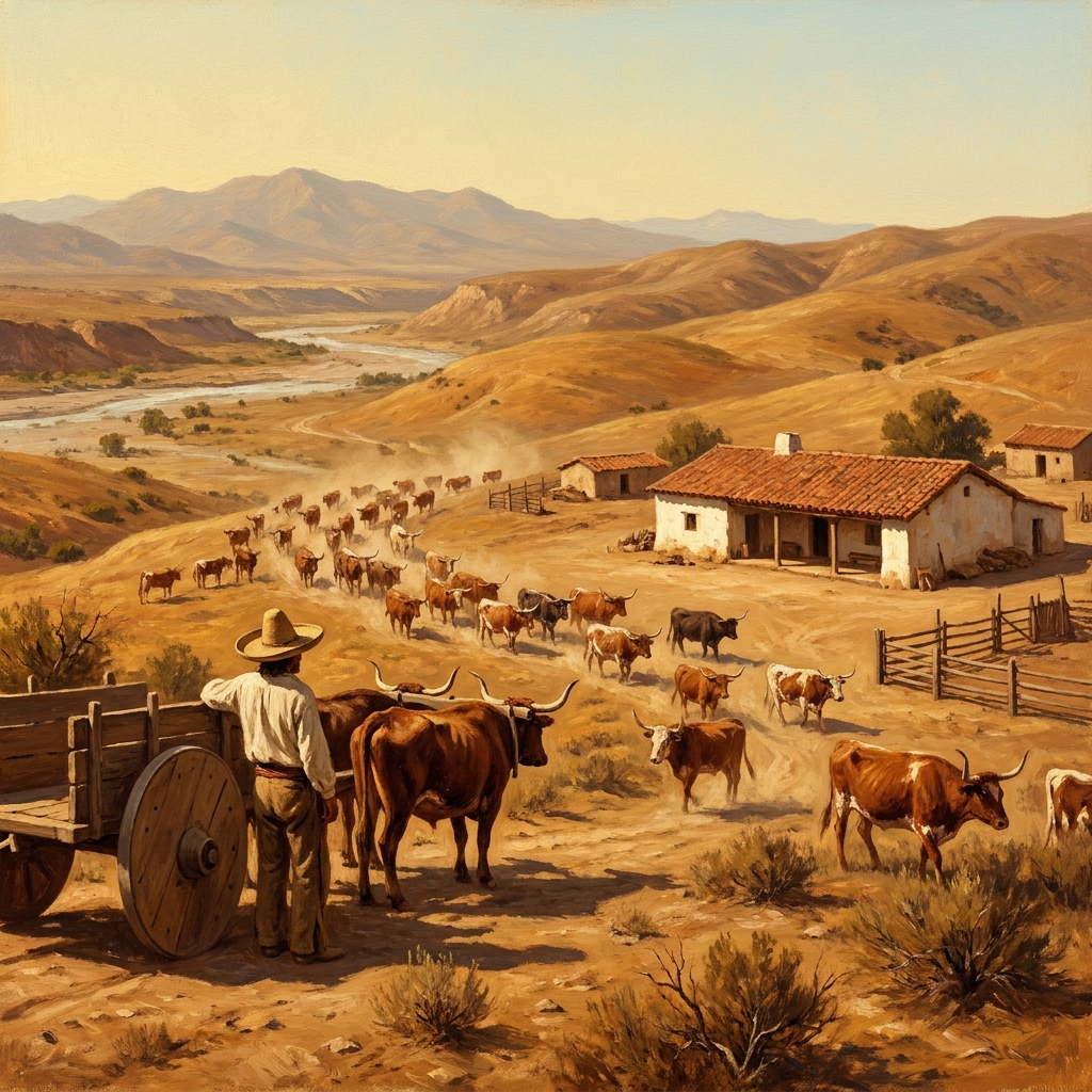
Students often walk into the room thinking every historical event in California starts with the Gold Rush or the missions. They see the physical environment through a narrow lens and miss the complicated shift in land ownership that happened under the Mexican government. When I teach 8th grade social studies, I find that addressing this gap requires helping them understand the shift from missions to civilian towns. Life and Land in Mexican Alta California is a 45-minute lesson that fixes that misconception by focusing on the specific mechanics of the land-grant system and how it shaped the physical layout of the state we live in today.
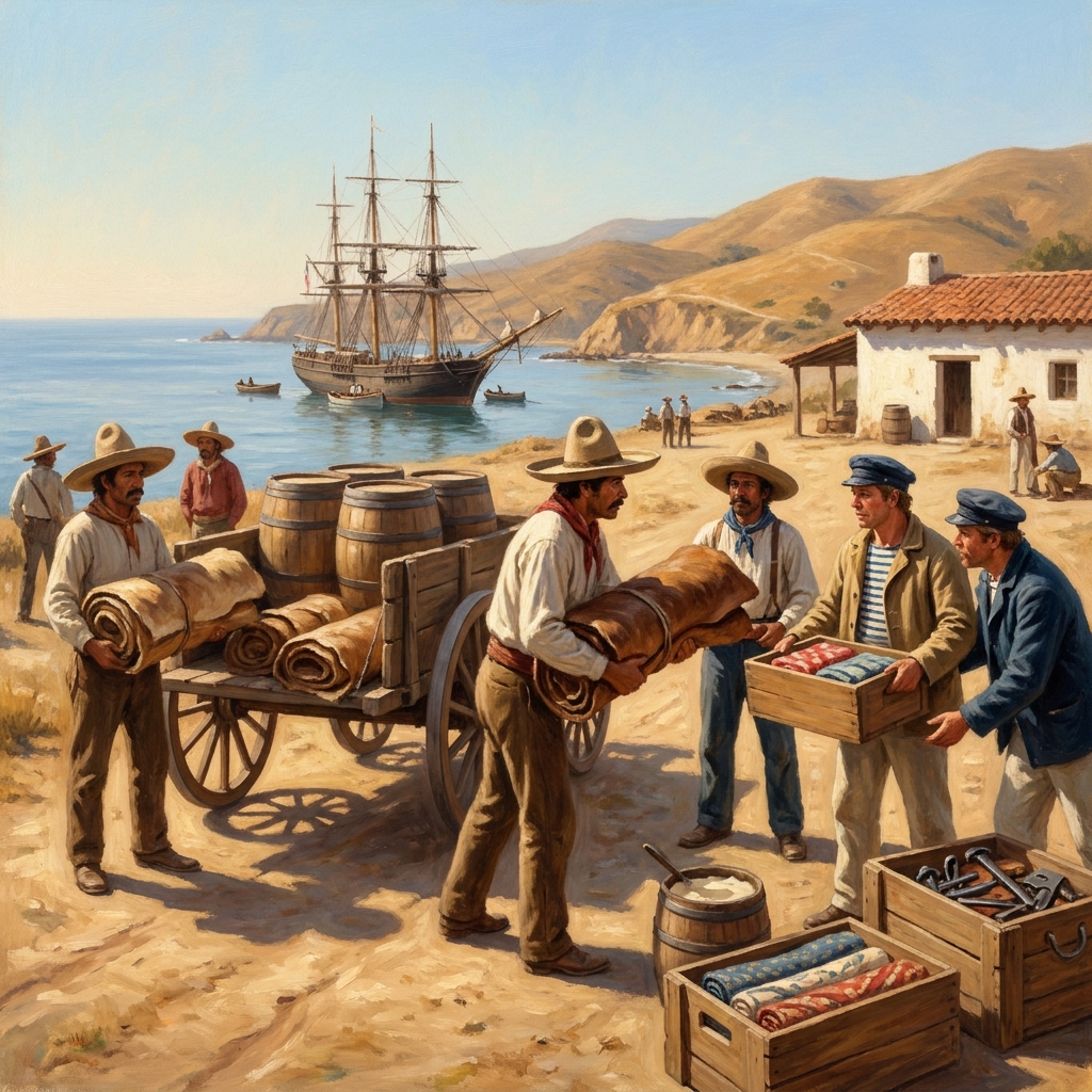
This 8th grade social studies lesson covers the social and economic structures of Mexican Alta California. It uses definitions for specific terms like Presidio, which is a military fort, and Pueblo, which is a civilian town. It also explains the Rancho, a massive landholding given to private citizens, and how the Ranchero operated within that hierarchy. The material introduces these concepts through the story of Rancho San Pedro, a clear example of how cattle ranching became the backbone of the economy. By the time students reach the guided practice, they are asked to imagine a traveler at a coastal port trading hides. This scenario forces them to move beyond just memorizing definitions and instead think about how goods moved in and out of those ports. The engagement factor here is quite high because it moves from abstract definitions to concrete imagery involving trade, shipping, and the daily life of merchants.
Teachers in districts like San Juan Unified, Twin Rivers Unified, Riverdale Joint Unified, and El Segundo Unified all rely on the same expectations for teaching this era of history. You are meeting CA.HSS-8.8.5 when you use this content. This standard asks that you help your students discuss Mexican settlements and their locations, their specific cultural traditions, their attitudes toward slavery, the mechanics of the land-grant system, and the overall nature of the economy. When students understand these pieces, they see that property lines in their own neighborhoods might trace back to original Mexican land grants. It is a powerful moment when they realize their own street address or local park sits on land that was once part of a massive cattle ranch.
What the lesson actually asks students to do
The lesson asks for more than just vocabulary retention. You will find that the Life and Land in Mexican Alta California lesson pushes students to analyze why specific settlements were placed near water. It connects geography to survival in a way that feels very practical. During the session, you should watch your students closely as they define the difference between a Presidio and a Pueblo. The mistake most students make is assuming all settlement types were the same. They often confuse the military purpose of a fort with the agricultural goals of a civilian town. If you have a student who is struggling, ask them to trace the path of a hide from the Rancho to the ship in the coastal trade scenario. It clarifies the economic role of the ports.
Beyond the simple trade mechanics, the lesson encourages critical thinking about the labor systems involved. Students often overlook the contributions of indigenous laborers who kept the Ranchos functioning. By highlighting that human element, we provide a more comprehensive view of the era. This creates a bridge to discussions about social power dynamics that often appear in later units of the social studies curriculum. As you circulate through the classroom, you might prompt students to consider the differences between the life of a landowner and the life of an employee on these vast estates. This deeper dive is what separates a standard rote-memorization class from a truly analytical social studies experience. When students engage with these personal narratives, the historical data points stop being just dry facts and start to feel like stories of real people, which dramatically increases retention rates.
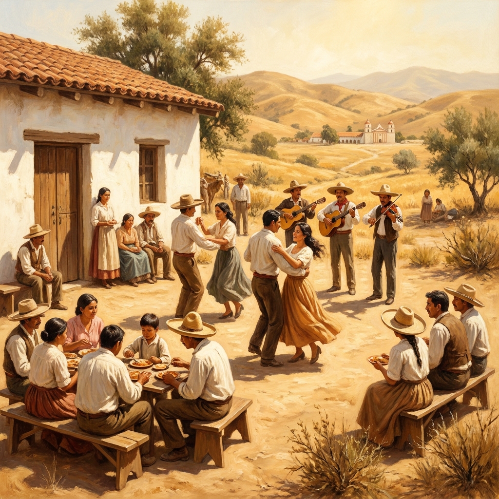
Because this lesson fits into a single 45-minute window, it works well as a 8th grade Mexican land-grant lesson for a sub day or a quick intervention for a student who missed the week. You do not have to worry about complex setups or long-term projects. It is a self-contained look at the social hierarchy of the time. The Rancho, for example, is presented not just as a farm, but as a space for social life where the Fiesta was a central way to maintain heritage. This detail helps bring the history to life for students who might otherwise find the land-grant system too dry. By focusing on cultural activities alongside economic systems, we offer a rounded view of the era that resonates with young learners who are often seeking human connection in historical study.
Where students slip
Students often trip up on the distinction between the ranchero as a person and the rancho as the land itself. I suggest that you keep the vocabulary list visible during your instruction. The standard CA.HSS-8.8.5 is meant to anchor the students in the reality of the era, but the jump from cattle ranching to social hierarchy is a big one for an 8th grader. If you see them getting stuck, return to the idea of the Fiesta. It is the easiest way to explain how families held onto their culture even while the economy shifted around them. Using this lesson for independent study or as a make-up assignment for attendance recovery also works, as the instructions are written clearly enough for students to work through the logic of the economy on their own. Just make sure they explain why the water source mattered, as that is where they show they understand the environment of the time.
It is important to emphasize that this confusion is normal. When students enter this unit, they are often unprepared for the transition from the mission period to the rancho period. This transition involves more than just a change in ownership; it marks a transformation in how Californians interacted with the physical space around them. By slowing down and providing visual aids like maps showing land grants, you help them see the transition spatially. For instance, comparing a map of the missions to a map of the land grants allows students to visually grasp the massive shift in how land was organized and utilized. This visual reinforcement is vital for 8th graders who are still developing their capacity for abstract historical reasoning. I have found that spending ten extra minutes on map analysis can completely change the way students respond to the rest of the unit, turning confusion into genuine inquiry about how their own cities began.
Related lessons
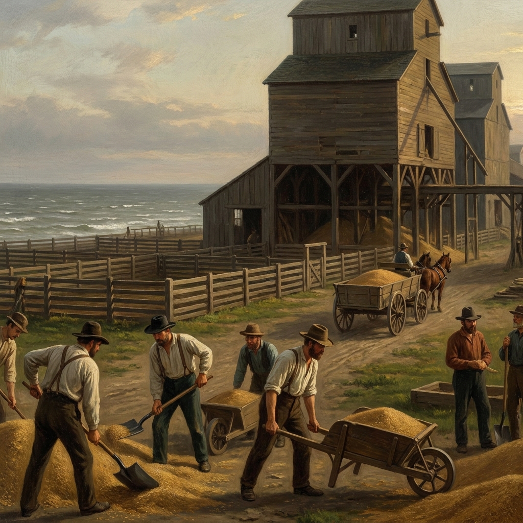
Industrialization and the American Landscape, Covers how manufacturing changed the country throughout the nineteenth century
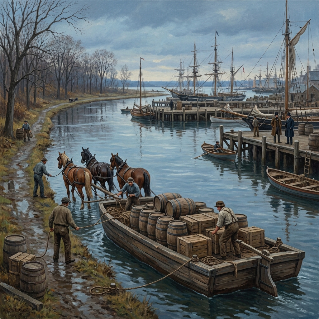
Geography and Economic Growth in 19th-Century America, Discusses how physical location affected trade and development patterns
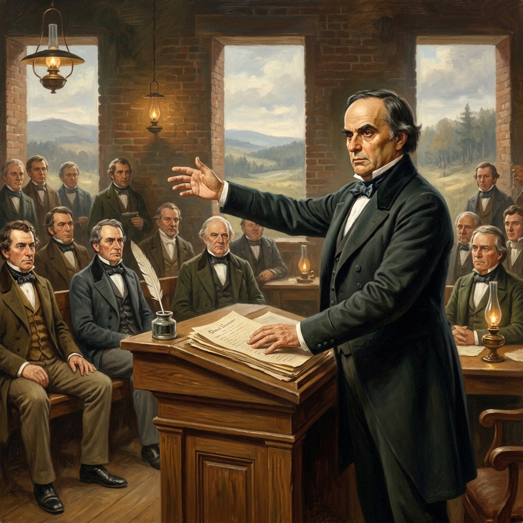
Federal Authority and States' Rights: Webster and Calhoun, Examines political tensions over government power in early America