

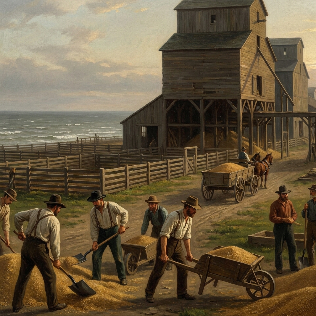
When we get to the middle of the eighth grade year, I always feel like the pacing has to balance the rapid expansion of the country with the physical reality of what that expansion actually meant for the land. You have probably been looking for a clean way to introduce the specific concept of human modification, and Industrialization and the American Landscape handles this well. It sticks to the basics of 19th-century history without getting bogged down in too much fluff.
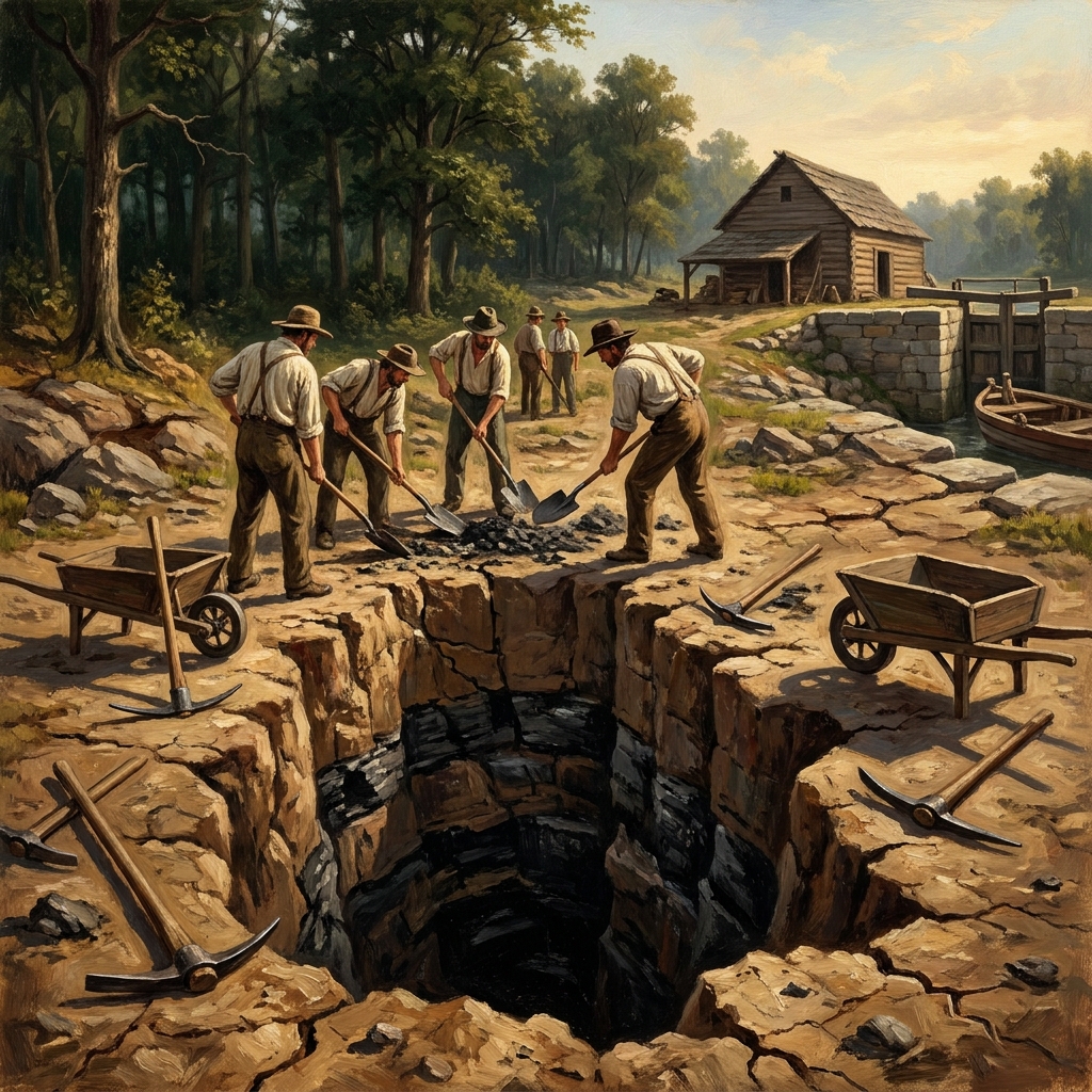
This is a solid fit for your eighth graders in US History. If you assign this as a whole-class activity, catch up a student who missed the week of instruction, or set it aside for a substitute day when you need the class to remain on track, the material is straightforward and accessible. The lesson uses the term industrialization to define the shift from hand-made goods to machine-made production, which is a foundational concept for this unit. It also defines deforestation as the clearing of trees for industry and mineral extraction as the removal of resources like coal from the ground.
Understanding the core of CA.HSS-8.6.1
The CA.HSS-8.6.1 standard is a heavy lift if you try to teach it all at once because it asks students to do several distinct things. First, it requires them to discuss how industrialization and new technology influenced regions. This is not just about memorizing dates or inventions. It is about understanding the cause and effect of development. Second, it tasks students with analyzing the human modification of the landscape. They have to see the earth not as a static backdrop, but as a resource that was being actively reshaped by roads, canals, and factories. Finally, the standard asks students to identify how physical geography shaped human actions. It forces the connection between the terrain and where people decided to build their homes and businesses.
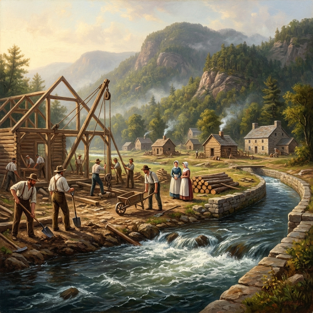
You will find that students often struggle with the idea that geography dictates human behavior because we live in such a technologically enabled time. However, this lesson does a good job of grounding that abstract idea in reality. It is the same standard used by teachers in Fresno Unified, Tulare City School District, Lamont Elementary School District, and Scott Valley Unified to ensure students across California share a consistent understanding of this era. By looking at specific examples like the Erie Canal or Chicago, students begin to see that human modification is a persistent pattern in American development.
How the lesson applies these concepts
The lesson starts by asking students to look at the Erie Canal project. I appreciate the way it frames this: the canal was a 363-mile cut through dirt and rock to move goods. It connects the Hudson River to Lake Erie, and it makes the point that this was not just a road, but a deliberate change to the continent’s shape to serve economic needs. This gives you a great hook for your 8th grade social studies lesson because most students are shocked that such a massive project happened in the early 1800s. It provides a visual for what it meant to turn a wilderness into a shipping lane.
The guided practice then moves to Lowell, Massachusetts. This is a classic, effective case study. You show the class how the mills were built along the Merrimack River because the water current was the only way to power the machinery of the time. Once students see that the location of the factory was entirely dependent on the river, the lesson about geography shaping human action starts to click. It is a much better approach than just listing facts about the Industrial Revolution. The lesson also dives into Chicago, explaining how its position on Lake Michigan and its rail connections transformed it into a center for grain storage and meatpacking. The addition of grain elevators and stockyards is a perfect example of how specific, large-scale structures alter the way a city looks and functions.
One caveat: the lesson is dense for forty-five minutes if you try to do the entire thing as a lecture. I recommend letting students work through the scenarios in pairs. They need to talk through the logic of why a city would grow in one spot but not another. By the end, they should be able to explain that we are still doing this today. When they look at the roads, bridges, and dams in their own towns, they are seeing the same drive to reshape the environment that occurred during the 1800s. It makes the history feel much less distant when they realize that we are still living inside the consequences of these early choices.
Related lessons
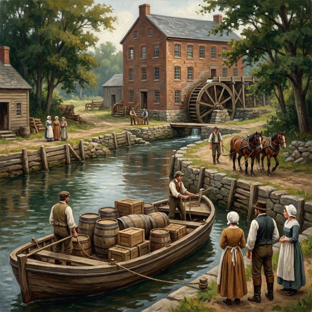
The Industrial Transformation of America, Details the technological shifts during the early American industrial period
Abolition and Early State Constitutions, Examines the legal and social movements regarding early American abolition
The Philosophy of the Declaration of Independence, Discusses the foundational political theories within the Declaration of Independence