

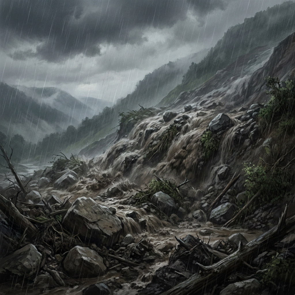
Eighth graders often struggle to perceive Earth as a dynamic, shifting object. They tend to see a mountain or a coastline as a static, permanent fixture, ignoring the fact that the landscape beneath their feet is constantly being remodeled. This mental block makes geology feel like a dry history lesson rather than the study of active, violent forces. Shaping California: Tectonics, Volcanoes, and Erosion cuts through that by forcing students to reconcile the massive, slow movement of tectonic plates with the sudden, destructive power of events like landslides.
The standard MS-ESS2-2 demands that students construct an explanation based on evidence for how geoscience processes have changed Earth’s surface at varying time and spatial scales. Teachers in Mt. Diablo Unified, Anaheim Union High School District, Los Banos Unified, and Live Oak Elementary School District are using this exact framework to help students understand the same core concepts across the state. The standard breaks down into a few specific requirements. It asks for an explanation based on evidence, meaning students cannot just guess; they need to use the data provided to support their claims. It also demands they address time and spatial scales, which is the hardest part. Students must contrast a quick event, like a landslide, against a slow, multi-millennial process like mountain building along a fault line.
What the lesson asks students to do
This 8th grade earth science lesson starts by establishing that Earth’s surface is always changing. It defines tectonic activity as the movement of large sections of Earth’s outer shell that can cause earthquakes and build mountains. A stream channel crossing the San Andreas Fault serves as a clear example of how this movement shifts the land over time. The lesson then introduces the concept of scale by looking at landslides, which it defines as the rapid movement of earth and rock down a slope, often triggered by heavy rain. By placing these side-by-side, the material forces students to grapple with the difference between a process that happens in seconds and one that occurs over millions of years.
Vocabulary is woven into the narrative rather than just dumped into a list. Your students will cover:
- Tectonic activity: The movement of large sections of Earth’s outer shell that can cause earthquakes and build mountains.
- Volcanic activity: The release of molten rock, gas, and ash from beneath Earth’s surface onto the crust.
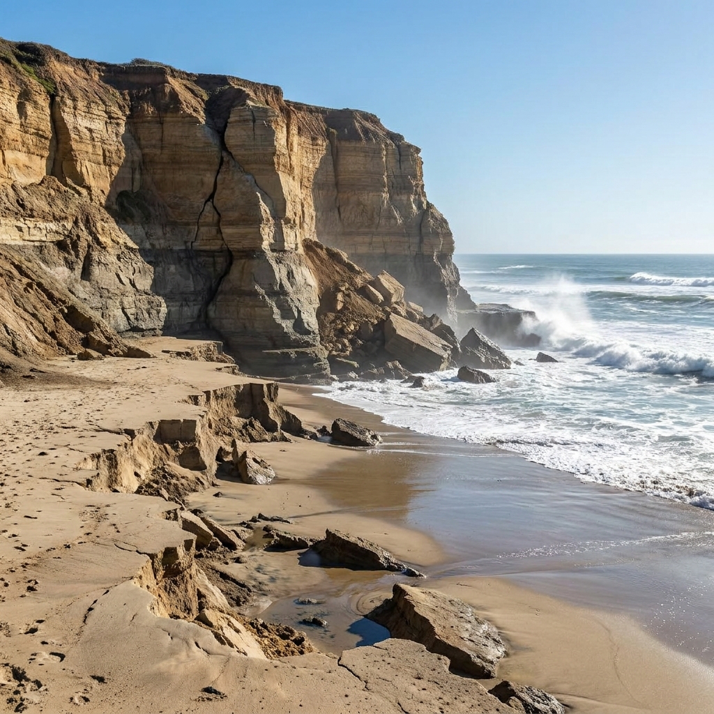
- Coastal erosion: The wearing away of land along the shoreline by the action of waves, currents, and tides.
The lesson includes a dedicated section on the California-specific version of MS-ESS2-2, which expands the requirement to include specific regional phenomena like the tectonic activity along the San Andreas and Hayward faults, volcanic activity at Lassen Peak and Long Valley Caldera, and coastal erosion along Highway 1. When the lesson asks students to explain these, it expects them to identify which processes occur on a human timescale versus a geological one.
Guiding students through the evidence
The guided practice is where the lesson shines. It moves away from definitions and into a specific phenomenon: the Long Valley Caldera. It asks students to explain how this massive volcanic region formed. A caldera is a large, basin-shaped depression formed when a volcano collapses after a massive eruption empties its magma chamber. Because the lesson provides this clear definition, your students have the necessary evidence to build their own explanation of the collapse process. This works well because it gives them a concrete scenario to apply the concept of rapid change, contrasting it with the much slower tectonic shifts they studied earlier.
I find that students benefit most from this lesson when they realize that these forces are not just historical events but contemporary realities. The lesson includes a why-it-matters section that explains how these processes dictate where we build our homes, how we design our roads, and how we prepare for natural events like earthquakes or landslides. It grounds the abstract science in the tangible infrastructure they see every day while traveling around California.
Implementation for your classroom
This is a solid choice for a whole-class assignment because the guided practice is scaffolded so well that it prevents the typical frustration that comes with abstract geological concepts. It also works perfectly for independent study or as a make-up lesson for a student who missed the week of instruction. If you are preparing for a sub day, the lesson is straightforward enough that a student can complete it without a geology expert in the room. The forty-five-minute timeframe is accurate, though you might want to give your students an extra ten minutes if you plan on holding a class discussion about their explanations of the Long Valley Caldera.
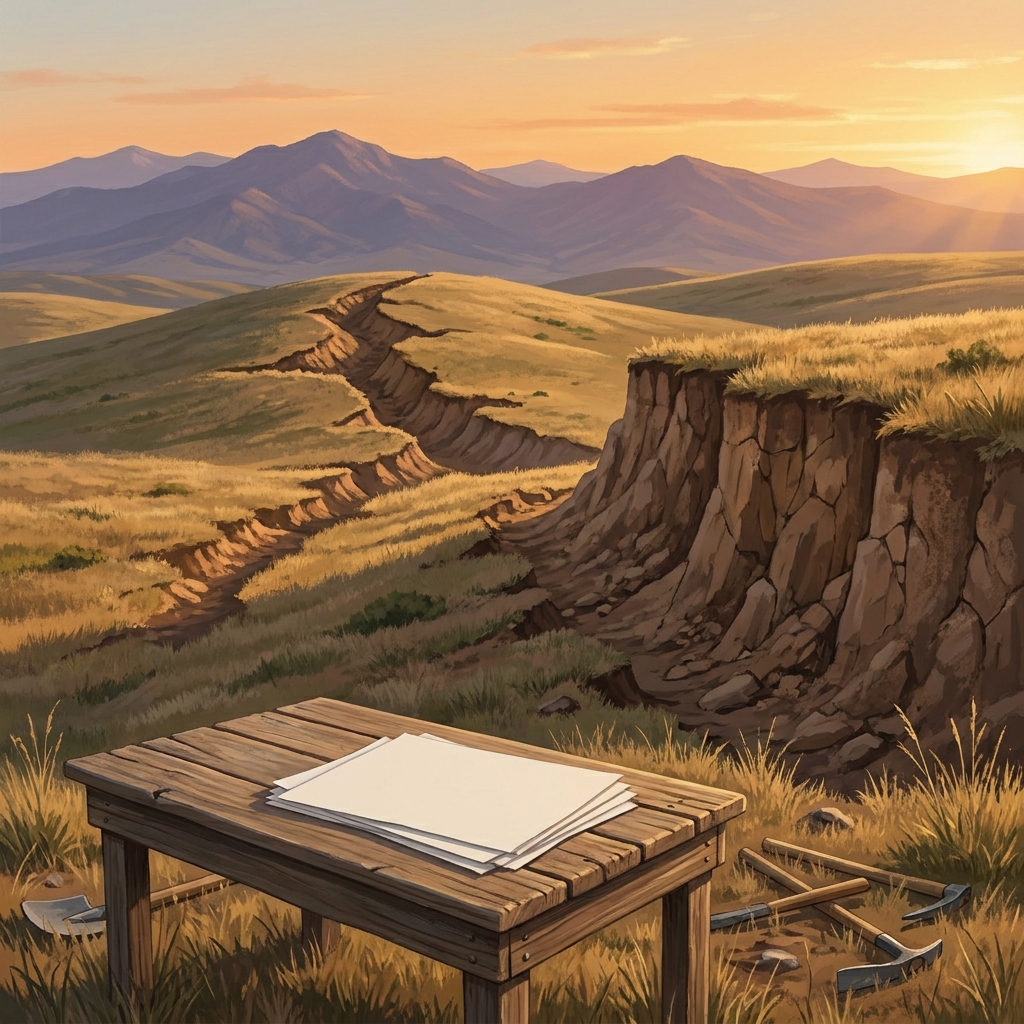
One caveat: emphasize that evidence in geology can be visual. Encourage your students to look at the differences in scale between the imagery of the fault movement and the landslide. If they get stuck, ask them to identify the duration of each event first. Once they define the time scale, the explanation of the spatial change usually follows. It is an effective way to help them see the planet as a machine that is constantly moving.
Related lessons
The California Water Cycle, Explains how water moves and changes state throughout California regions

Evaluating California Climate Action, Examines human efforts to mitigate climate change across California environments
Earth's Hidden Treasures, Covers the formation and distribution of mineral resources beneath us