

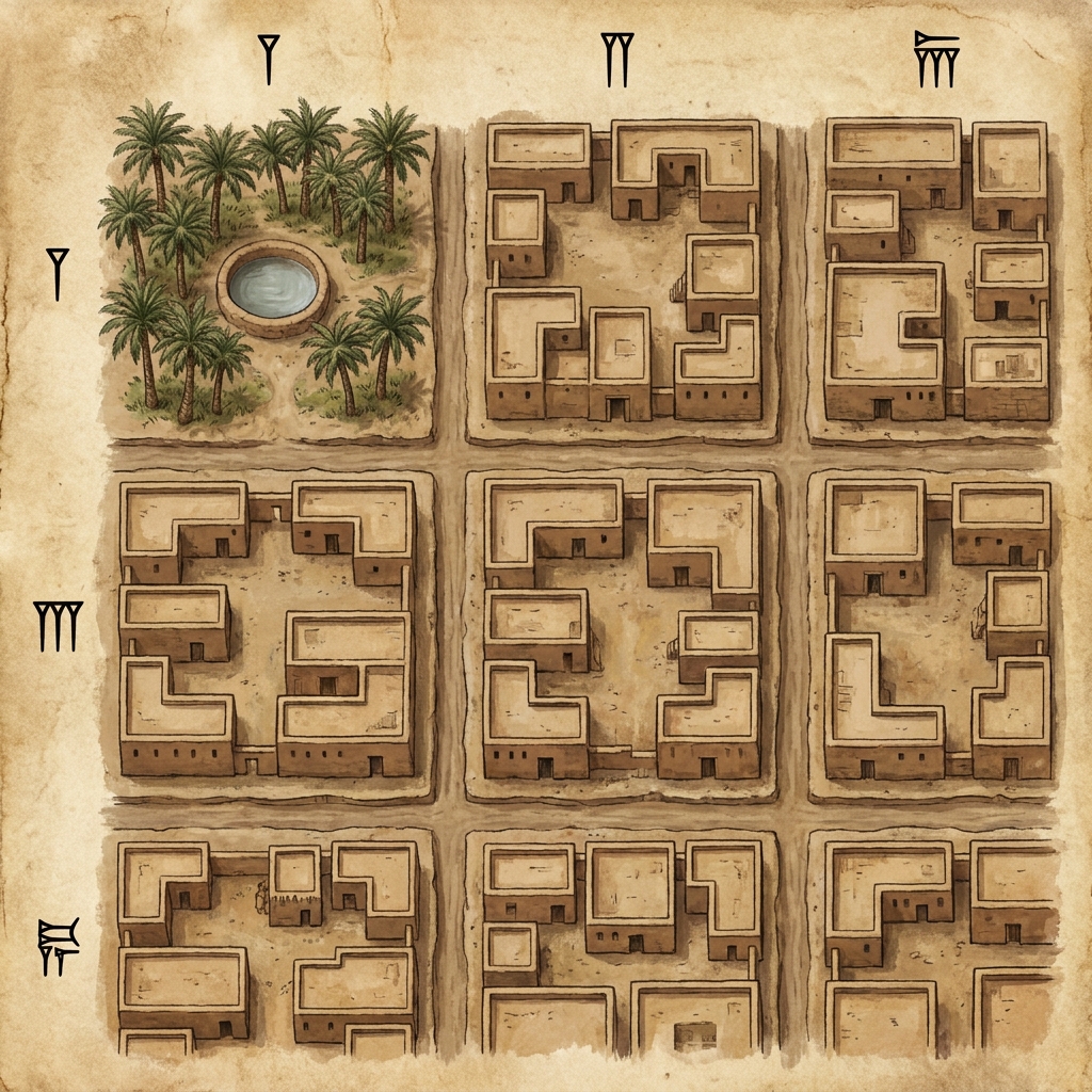
The California social studies standard CA.HSS-2.2.1 asks that students “Locate on a simple letter-number grid system the specific locations and geographic features in their neighborhood or community (e.g., map of the classroom, the school).” In my years in the classroom, I have found that this standard often arrives on the calendar right when the math curriculum feels heaviest and the science fair projects begin to stack up on the back counter. It is a common reality for teachers in San Francisco Unified, Visalia Unified, Barstow Unified, and Woodland Joint Unified to find themselves behind schedule by mid-year. When we are rushing, these foundational geography skills are sometimes the first things to get cut from the day.
If you find your class falling behind or you have a student who missed the week, you need an efficient way to hit the target without spending hours designing materials from scratch. That is where Finding Places on a Grid comes in. It is a straightforward resource that sticks to the point. It avoids the fluff that often distracts seven-year-olds and focuses strictly on the map skills required by the state.
Using a grid to organize space
The lesson starts by anchoring the concept in the student’s own immediate environment. It uses the idea of a classroom desk arrangement to explain how a grid functions. When we talk about map reading, we can easily lose the class in the abstract. Instead, the lesson frames it as a pattern of crossing lines that create squares. A teacher can point to their own desk and say, This is our starting line. By organizing the floor space into a grid, we give every item a precise address. This is the logic used by second grade grid maps lesson materials to help children see the world through a structured lens rather than a chaotic one.
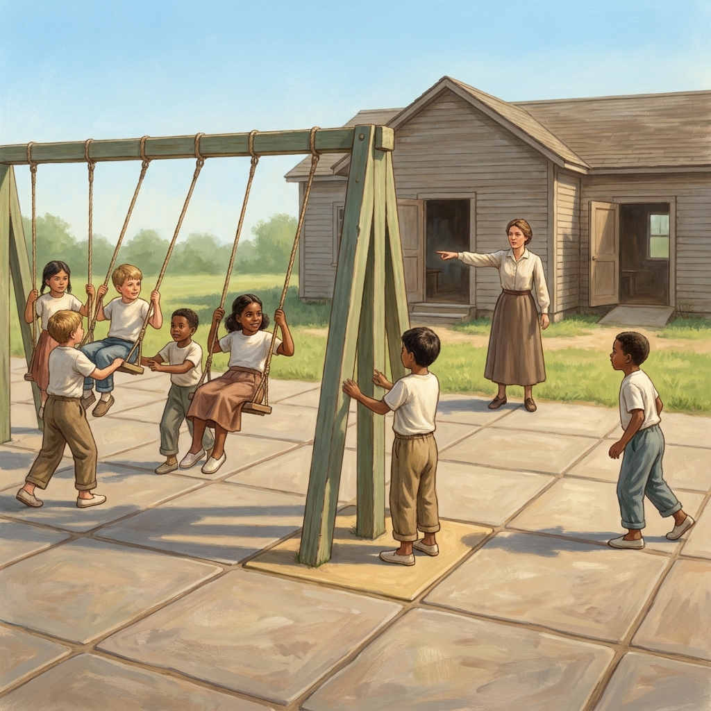
I have observed that many students struggle to grasp the difference between a row and a column. They often look at a map and just guess where a point lies. This lesson addresses that by showing a clear visual layout of a school cafeteria. By having the students look at columns labeled A, B, and C alongside rows 1, 2, and 3, they get a chance to practice the coordinate system. If you use this as an independent study tool for a student who was out sick, the self-paced structure is quite beneficial because it allows them to pause and check the row or column label before they make a mistake. It is an honest, no-nonsense way to ensure they do not skip over the vocabulary.
Breaking down the coordinate system
We need to talk about the terminology. The lesson introduces the word coordinate as the letter and number pair, like A1, that tells us exactly where a place is on a map. This is where many students experience a lightbulb moment. They realize that a location is not just a vague place; it is a point on a graph. The lesson defines grid as a pattern of crossing lines that create squares used to help us find locations. These are not fancy definitions, but they are exactly what a second grader needs to memorize to build map literacy.
When I taught this, I made sure to emphasize why this skill exists. The lesson includes a solid explanation: Delivery drivers use grids to find addresses, and people use them to find places in a new city. Giving kids that real-world connection is essential. If they understand that a UPS driver or a delivery person is using the same system they are practicing on their paper, the work stops being just another worksheet. It becomes a tool for managing movement in the physical world.
Why this standard is often overlooked
I believe teachers sometimes treat CA.HSS-2.2.1 as a minor standard. It is easy to assume that because students see digital maps on tablets or phones, they automatically know how to read a physical map with coordinates. That is a mistake. Technology hides the grid. When a student uses a GPS app, the machine does the thinking for them. They do not have to identify the row or the column. They just tap and go. This is why explicit instruction on paper grids is still necessary. It forces the brain to process the spatial relationship between the x-axis and y-axis. Without this manual practice, they have no mental model for how the digital systems they use daily actually function.
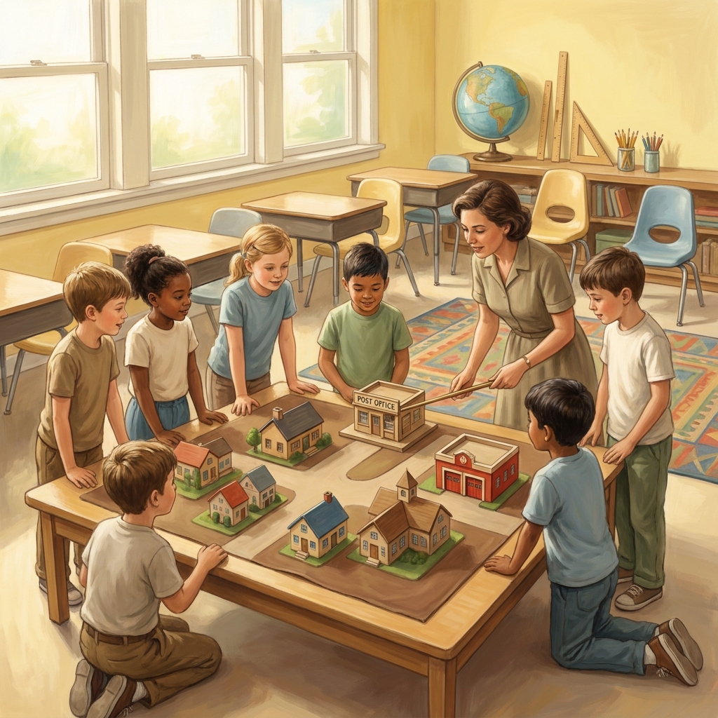
Finding space for these lessons in your schedule
If you are looking for a substitute day activity or an intervention tool for a small group, this lesson works quite well. It takes about 45 minutes to complete if you move at a steady pace. I suggest using it for those moments when you notice the class is struggling with visual-spatial organization during math or geography. It acts as a great bridge between those subjects.
You do not need to over-plan for this. The lesson is self-contained. For a teacher in the middle of a busy week, being able to pull up a single, well-structured resource is a relief. You can have the students work through the example scenario about the neighborhood park at B1, where they verify the location because it is in the B column and the 1 row, and then let them practice on the cafeteria map. It is quiet work. It is productive work. And it hits the standard without requiring you to reinvent the wheel for a busy Tuesday morning. Focus on the basics, let them practice the coordinate pairs, and move on to the next task in your curriculum with the confidence that you have covered the necessary ground.
Related lessons

How Life Changes Over Time, Explores how personal and community life evolves over different historical periods
How Governments Help Our Communities, Describes the role of local government in supporting neighborhood needs
Heroes Who Make a Difference, Identifies individuals who contribute positively to their local social community