

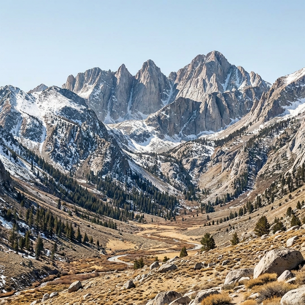
High school science teachers often find themselves balancing the rigid requirements of life science with the fascinating, messy reality of Earth systems. This is particularly true when you reach the units that bridge biology and geology. Sculpting the California Landscape offers a solid way to spend 45 minutes of class time, whether you are running a whole-class assignment, providing a resource for a student who missed the week, or setting up a substitute day.
The lesson is built around HS-ESS2-1, which is the California-adopted standard asking students to develop a model to illustrate how Earth’s internal and surface processes operate at different spatial and temporal scales to form continental and ocean-floor features. Educators from Antelope Valley Union High School District, San Jose Unified, Wasco Union High School District, and Novato Unified all teach this same core concept. The lesson specifically includes the California-added expectations for modeling local features like the Sierra Nevada, the Basin and Range Province, coastal terraces, and the Monterey submarine canyon.
How the lesson covers Earth’s internal and surface processes
The lesson starts with a simple prior-knowledge opener: rivers act like giant saws cutting through the ground. It is a sharp way to get students thinking about how moving water picks up sand and small rocks to scrape away bedrock, leaving deep, narrow valleys behind. The lesson moves through three main concepts: tectonic uplift, crustal extension, and erosion. It does not waste time with fluff.
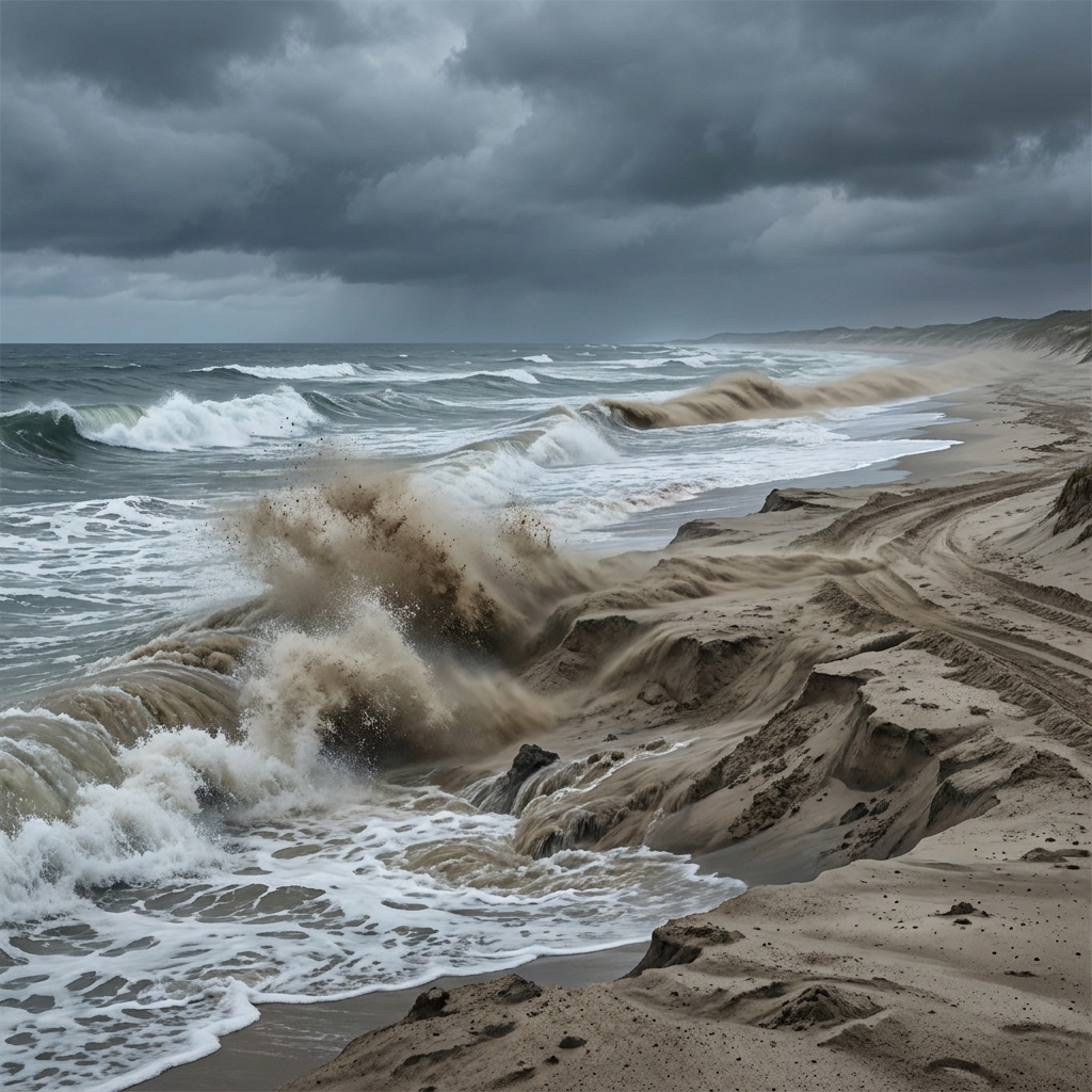
You will find the worked example scenario particularly helpful for students who struggle with abstract concepts. It focuses on the Sierra Nevada mountains. The text explains that this range formed primarily through tectonic uplift, where the crust was pushed up to form high, jagged peaks. The evidence for this is clear to any geologist: the steep, elevated mountain range sits high above the surrounding land. This section effectively uses the lesson’s core concepts to explain how we know what we know about mountain building.
The guided practice moves from the mountains to the coast. It asks students to imagine they are a geologist examining the Monterey submarine canyon. Students must apply what they learned about sediment moving down slopes to explain how this feature is carved into the ocean floor. It is a practical exercise that pushes them to think about how surface processes operate underwater just as they do on land.
Why this model works for your students
One aspect I appreciate is the direct connection to why these forces matter. The lesson explains that understanding how the land moves helps us plan where it is safe to build houses to avoid risks like landslides in active mountain areas. It grounds the physics of plate tectonics in a reality students can actually visualize in their own state. If you have students in independent study or need to run an attendance recovery session, this high school earth science lesson is perfect because it requires them to synthesize information rather than just memorize terms.
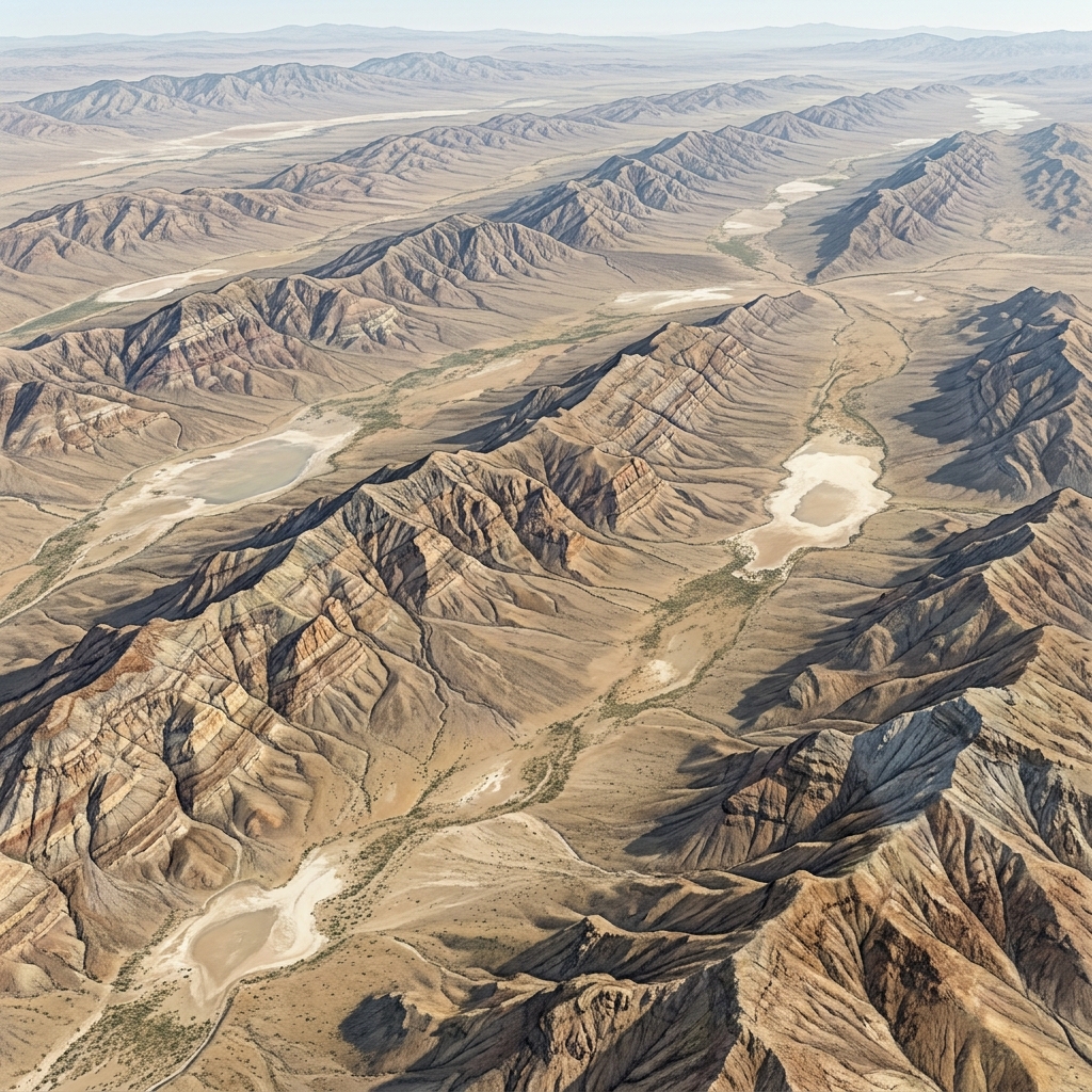
The lesson is opinionated about its own goals. It assumes students can handle the causal link between tectonic forces and surface changes if they are given the right framework. One limitation I have noticed is that students often want to rush through the modeling portion, assuming that because they understand the concept of uplift, they have finished the work. You might need to remind them that the model is meant to illustrate the temporal scale. Mountain building does not happen in a week. It happens over immense periods. Keeping them focused on the scale of these events is where the real learning happens. It is a straightforward resource that hits the standards without overcomplicating the delivery.
Related lessons

The Sun's Energy Engine, Explains how solar radiation drives atmospheric and oceanic circulation patterns
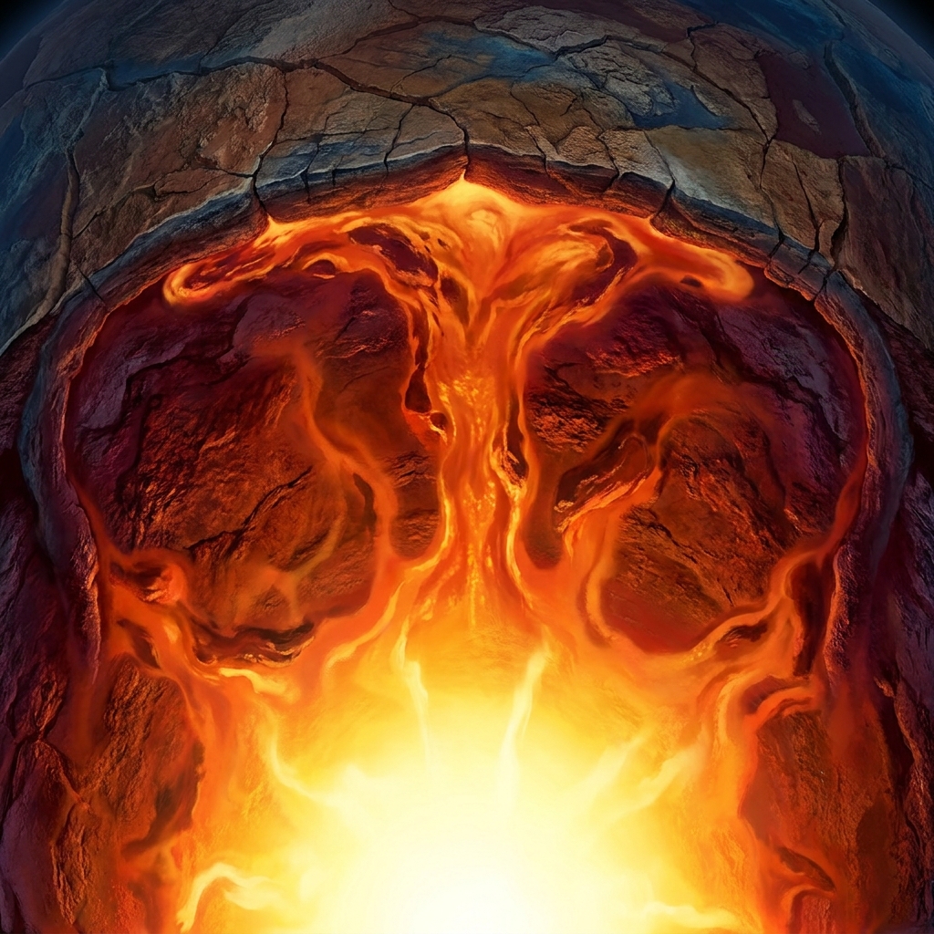
Earth's Moving Interior, Details the mantle convection processes that drive plate tectonic movement
Evaluating California Energy Policy Trade-offs, Analyzes the economic and environmental impacts of different energy sources